


Plan d'Eau de Cournon-d'Auvergne


Length 1.5 Km

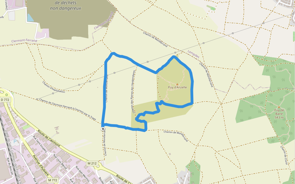
Puy d'Anzelle
Length 3.8 Km
Chemin de Montferrand
Length 5.8 Km

Espace Ariccia
Length 1.0 Km

Espace Ariccia
Length 0.8 Km

Bords d'Allier
Length 6.7 Km

Chemin des Toulaits
Length 0.3 Km

Sentier Botanique
Length 0.5 Km

Chemin de la Ribeyre à Gondole
Length 0.3 Km

Rue du Morvan
Length 0.2 Km

Chemin d'Eau
Length 0.4 Km

Chemin des renards
Length 0.8 Km


 5.0 · 1 Review


