


Joffre Lakes Trail


Length 7.9 Km

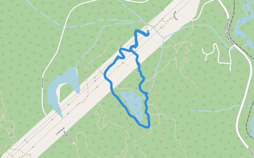
Valentine Lake Trail
Length 6.5 Km

Gravitron Trail
Length 1.7 Km

Keith's Hut Winter Access
Length 3.5 Km

Mr Rogers
Length 0.6 Km

Log and Rock
Length 0.3 Km

Lower Gravitron
Length 0.9 Km

Overnight Sensation
Length 1.8 Km

Chair Traverse
Length 0.6 Km

Scruffy's By Pass
Length 0.5 Km

Stonecrop Face Route
Length 1.9 Km

Mosquito Lake Road
Length 6.4 Km

Tenquille/Owl Lakes Trail System
Length 13.0 Km

Smell the Glove
Length 1.8 Km

Slalok Scramble Route
Length 1.4 Km

Rock and Roll
Length 0.7 Km

Radio Tower
Length 0.9 Km

Northwest Face Route
Length 1.0 Km

McKenzie Basin Forest Service Road
Length 14.3 Km

Log and Rock
Length 3.5 Km


 4.5 · 3 Reviews


