


Chinquapin


Length 2.3 Km

West Lot & Chinquapin
Length 0.4 Km
Follow the gravel road north until the trail turns to turf and takes you to an overlook of the restored native prairie bordered by woodland to the north and east.

Tanyard
Length 8.6 Km
Hike turf trails through open restored native prairie past the historic Tanyard building, where the Shakers tanned leather and pumped water to the Water House located beside Centre Family Dwelling.

West Lot
Length 3.1 Km

Shawnee Run Trail
Length 8.5 Km

Old US 68
Length 0.7 Km

Lampton Trail
Length 1.6 Km

Heritage Trail
Length 1.0 Km

connector
Length 0.4 Km

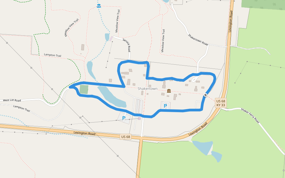
Village Loop
Length 2.4 Km
Follow the Turnpike, formerly US 68, through the center of the Village, then take gravel paths through The Farm and a gravel service road behind the Village. This leisurely stroll gives you an overview of everything The Historic Centre has to offer, inclu
Towering Sycamores
Length 1.9 Km
Start north along the paved road to West Lot and The Stable. Cross the bridge, follow Shawnee Run Creek to the right, and you will quickly see large American Sycamore trees with white bark and skeletal look of the upper branches.

Heritage
Length 1.8 Km
Hike southwest along the Historic Turnpike, past the remains of Shaker grist and linseed oil mills. Cross Kissing Bridge and observe the remains of the dam once used to provide water for the mills downstream.

Meadow View
Length 3.7 Km
Mostly turf trails take you through open restored native prairie, wood lots and farm ponds, where a variety of wildlife viewing opportunities lie around every bend.

Anderson
Length 5.4 Km
Start southwest along the Historic Turnpike, then loop around fields where you can observe a mixture of modern agriculture and restored native prairie. The wire fence to the west marks the border of Shaker Village property, while an historic stone fence b

River Road
Length 4.5 Km
Carefully cross US 68, then follow an old Shaker roadbed and descend 400 feet to Shaker Landing. Choose to follow the more rugged single track trail through pasture and Palisades cliffs (look for the stone fence turnstyle to your left to join the trail) o

Lampton
Length 2.9 Km
Follow historic stone fences bordering the Historic Turnpike east, then turn north alongside Meadow View Barn, a post-Shaker tobacco barn, in a modern agriculture field. The homestretch of the trail is bordered to the north by some of the oldest stone fen

Pelly
Length 8.8 Km
Hike the Historic Turnpike south, upstream along Shawnee Run Creek, after crossing Kissing Bridge. Pass through the culvert under US 68 to access restored native prairie and modern agricultural fields along mostly turf trails with a small wooded section.

West Lot
Length 4.3 Km
Follow the gravel road north until the trail turns to turf and takes you to an overlook of the restored native prairie bordered by woodland to the north and east.

Shawnee Run
Length 8.7 Km
Trail blazed in white. Traverse woodland trails and turf in the open prairie, then view the Fulling Mill site (the most photographed waterfall, flowing at its highest during winter snow melts and spring rains), an extremely scenic overlook of Shawnee Run


 4.5 · 3 Reviews


