Pacer Walking App
The #1 Walking App
4.8
(1643K)
Open in App
Walking App
Near Me
Clubs
Challenges
Medals
For Workplaces
© Mapbox
© OpenStreetMap
Improve this map
© Mapbox
© OpenStreetMap
Improve this map
France
Centre-Val de Loire
Châlette-sur-Loing
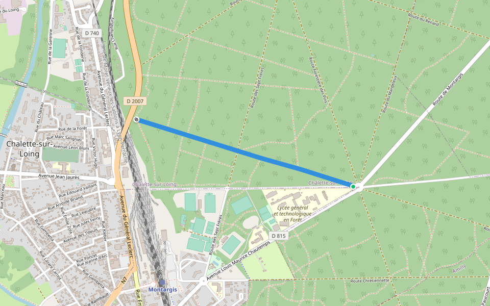
Chemin Pré Conin
France
Centre-Val de Loire
Châlette-sur-Loing
Chemin Pré Conin
1
評價
路線長度
0.6 公里
步數
1000
路線簡介
Chemin Pré Conin是一條位於的步道,他的長度為0.6km (大約1,000步) ,爬升高度為0m,難度評級簡單。用Pacer App發現更多優質路線吧!
在應用中打開詳情
地圖
© Mapbox © OpenStreetMap
打開地圖
打開地圖
Last updated: Apr 1, 2025
路線簡介
路線長度
0.6 公里
步數
1000
推薦路線
蒙塔日,卢瓦雷省,法國
Closiers湖
路線長度 2.3 公里
Allée de Champfleuri
路線長度 1.2 公里
蒙塔日,卢瓦雷省,法國
Closiers湖
路線長度 1.8 公里
盧萬河畔沙萊特,卢瓦雷省,法國
沙萊特湖
路線長度 2.3 公里
Allée de l'Étoile
路線長度 1.4 公里
Chemin du Haut de Mercy
路線長度 0.2 公里
Pacer Walking App
Pacer is the
best walking app
for walking challenges and finding
places to walk near me
.
在應用中打開詳情
取消
是
Pacer Walking App
The #1 Walking App
4.8
(1643K)
Open in App
Walking App
Near Me
Walking Clubs
Walking Challenges
Medals
For Workplaces