Open in App
pacer logo
鄉村環路 walking route map in 哈羅茲堡,肯塔基州
United StatesBreadcrumb separatorKentuckyBreadcrumb separatorHarrodsburgBreadcrumb separator
鄉村環路
哈羅茲堡,肯塔基州

鄉村環路

Rating StarRating StarRating StarRating StarRating Star
1
 評價
路線長度2.4 公里
累計爬升8 m
步數3500

路線簡介

鄉村環路是一條位於哈羅茲堡,肯塔基州的步道,他的長度為2.4km (大約3,500步) ,爬升高度為8m,難度評級簡單。用Pacer App發現更多優質路線吧!
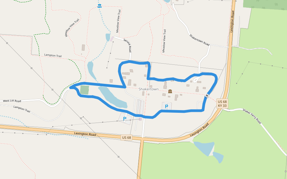
Follow the Turnpike, formerly US 68, through the center of the Village, then take gravel paths through The Farm and a gravel service road behind the Village. This leisurely stroll gives you an overview of everything The Historic Centre has to offer, inclu
Last updated: Apr 1, 2025

路線簡介

Detail Icon

路線長度

2.4 公里
Detail Icon

累計爬升

8 m
Detail Icon

步數

3500
pacer

Pacer Walking App

Pacer is the best walking app for walking challenges and finding places to walk near me.