Pacer Walking App
The #1 Walking App
4.8
(1643K)
Open in App
Walking App
Near Me
Clubs
Challenges
Medals
For Workplaces
© Mapbox
© OpenStreetMap
Improve this map
© Mapbox
© OpenStreetMap
Improve this map
France
Centre-Val de Loire
Illiers-Combray
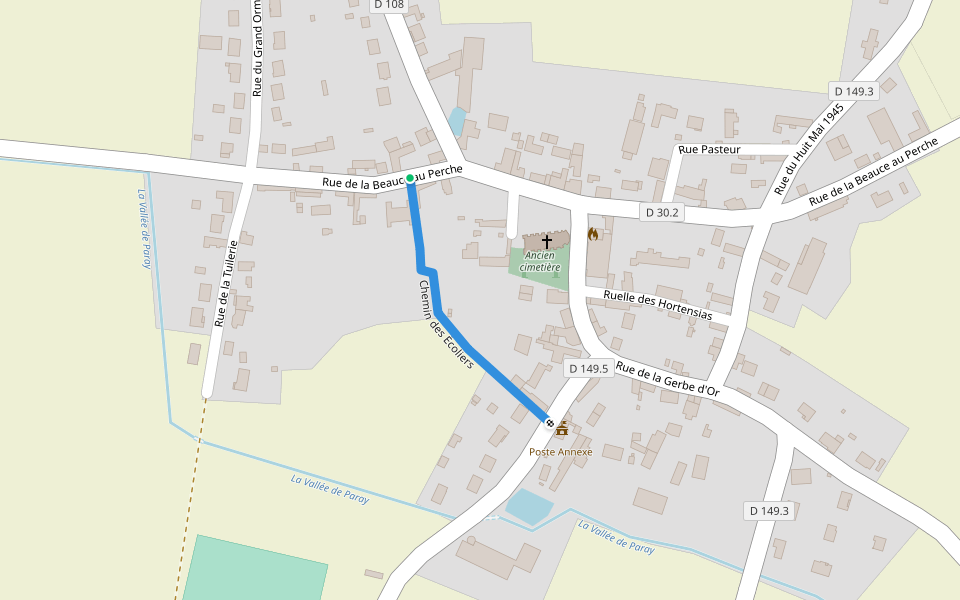
從 Illiers-Combray 到 Bonneval(根據 GR 655)
索默賴,中心-盧瓦爾河谷地區
France
Centre-Val de Loire
Illiers-Combray
從 Illiers-Combray 到 Bonneval(根據 GR 655)
1
評價
路線長度
27.1 公里
累計爬升
19 m
步數
39000
路線簡介
從 Illiers-Combray 到 Bonneval(根據 GR 655)是一條位於索默賴,中心-盧瓦爾河谷地區的步道,他的長度為27.1km (大約39,000步) ,爬升高度為19m,難度評級困難。用Pacer App發現更多優質路線吧!
在應用中打開詳情
地圖
© Mapbox © OpenStreetMap
打開地圖
打開地圖
Last updated: Mar 1, 2025
路線簡介
路線長度
27.1 公里
累計爬升
19 m
步數
39000
推薦路線
Promenade du Gué Bellerin
路線長度 0.3 公里
Chemin des Écoliers
路線長度 0.2 公里
索默賴,厄爾-羅亞爾省,法國
萊斯·魯伊利斯
路線長度 5 公里
Passage Saint-Romain
路線長度 0.3 公里
厄爾河畔庫爾維爾,中心-盧瓦爾河谷地區
聖尼古拉斯廣場
路線長度 1.6 公里
蒙蒂尼勒沙蒂夫,中心-盧瓦爾河谷地區
從 Champrond-en-Gâtine 到 伊利耶-貢布雷
路線長度 61.3 公里
· 爬升 111 m
Pacer Walking App
Pacer is the
best walking app
for walking challenges and finding
places to walk near me
.
在應用中打開詳情
取消
是
Pacer Walking App
The #1 Walking App
4.8
(1643K)
Open in App
Walking App
Near Me
Walking Clubs
Walking Challenges
Medals
For Workplaces