Pacer Walking App
The #1 Walking App
4.8
(1643K)
Open in App
Walking App
Near Me
Clubs
Challenges
Medals
For Workplaces
© Mapbox
© OpenStreetMap
Improve this map
© Mapbox
© OpenStreetMap
Improve this map
France
Auvergne-Rhône-Alpes
La Côte-Saint-André
阿利韋公園
聖安德烈山丘,奧弗涅-羅納-阿爾卑斯大區
France
Auvergne-Rhône-Alpes
La Côte-Saint-André
阿利韋公園
1
評價
路線長度
4.3 公里
步數
6000
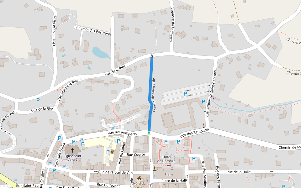
路線簡介
阿利韋公園是一條位於聖安德烈山丘,奧弗涅-羅納-阿爾卑斯大區的步道,他的長度為4.3km (大約6,000步) ,爬升高度為0m,難度評級簡單。用Pacer App發現更多優質路線吧!
在應用中打開詳情
地圖
© Mapbox © OpenStreetMap
打開地圖
打開地圖
Last updated: Apr 1, 2025
路線簡介
路線長度
4.3 公里
步數
6000
推薦路線
Chemin de Mansarde
路線長度 0.2 公里
Chemin du Biel
路線長度 0.6 公里
Chemin Dubouchet
路線長度 0.2 公里
Chemin de la Baconne à Saint-Hilaire
路線長度 0.9 公里
· 爬升 24 m
Chemin de l'Étang du Vivier
路線長度 0.7 公里
· 爬升 11 m
Chemin du Villaud
路線長度 0.3 公里
Pacer Walking App
Pacer is the
best walking app
for walking challenges and finding
places to walk near me
.
在應用中打開詳情
取消
是
Pacer Walking App
The #1 Walking App
4.8
(1643K)
Open in App
Walking App
Near Me
Walking Clubs
Walking Challenges
Medals
For Workplaces