從阿賓格(Abinger)看北丘陵
| 路線長度 | 5.3 公里 |
|---|
|
| 累計爬升 | 101 m |
|---|
|
| 步數 | 7500 |
|---|
路線簡介
從阿賓格(Abinger)看北丘陵是一條位於阿賓傑,Dorking,英格蘭的步道,他的長度為5.3km (大約7,500步) ,爬升高度為101m,難度評級中等。用Pacer App發現更多優質路線吧!
A circular walk from Abinger. Park oppersite the Abinger Hatch. Walk out past the church and follow the signs. You will pass a number of very old builds and take in some stunning views of the North Downs.
路標點
路標點 1

Parking oppersite Abinger Hatch
路標點 2

The Volunteer public house
路標點 3

Old country houses
路標點 4

A view of the North Downs
路標點 5

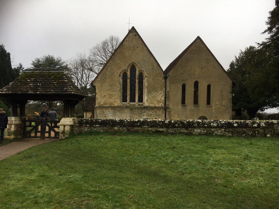
路標點 6

View of the church
Last updated: Apr 1, 2025


評論