布莱斯峡谷边缘
| 路线长度 | 4.4 公里 |
|---|
|
| 累计爬升 | 139 米 |
|---|
|
| 步数 | 6000 |
|---|
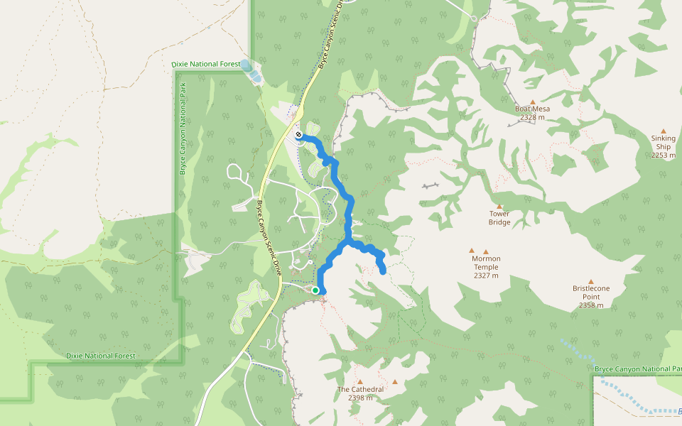
路线简介
布莱斯峡谷边缘是一条位于Bryce,犹他州,美国的步道,他的长度为4.4km (大约6,000步) ,爬升高度为139m,难度评级中等 。用Pacer App发现更多优质路线吧!
Take the free shuttle bus from the Bryce Canyon National Park Visitor Center and get off at Sunset point, head for the canyon rim. Spectacular views await. Following the rim , head for Sunrise point, it’s a level walk along the rim. At Sunrise point you can take a route down into the canyon, dogs are not allowed.
From Sunrise point head back to the visitor center or you can take the shuttle bus back
Last updated: Apr 1, 2025