Inishturk岛
| 路线长度 | 6.2 公里 |
|---|
|
| 累计爬升 | 217 米 |
|---|
|
| 步数 | 9000 |
|---|
湖泊
河流
美景
野花
山区
历史古迹
静谧之地
需要越野
崎岖不平
暴晒
陡坡
路线简介
Inishturk岛是一条位于Clare Island,梅奥郡,爱尔兰的步道,他的长度为6.2km (大约9,000步) ,爬升高度为217m,难度评级中等 。用Pacer App发现更多优质路线吧!
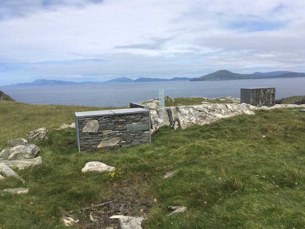
Inishturk, ‘the island of the wild boar’ is a perfect gem, ideal for anyone wanting to get away from it all.
Located about 14km off the coast of Co Mayo in the Republic of Ireland and reached by ferry from Roonagh Pier on the mainland, this peaceful haven offers an abundance of opportunities for the visitor despite its small size of 5km by 2.5 km.
Rich in archeological sites, Inishturk has been inhabited on and off for 6000 years.
Two marked loop walks made exploring easy and majestic cliffs and steep hills are home to a variety of bird life and flowers.
This route is the Lough Coolaknick loop.
After disembarking the ferry head to the left around the harbour keeping the health centre to your right and camp site the left. At a fork in the road take the right and you are on the loop of about 5km. There are numerous abandoned house sites and beehive hut sites to be seen. Lough Coolaknick is about 1.5km into the walk, then the GAA pitch where toilets are located.
At the end of the road go left and a km later one reaches the community centre with its bar and restaurant where everything happens. Sit outside and enjoy the views of this stunning landscape and the mainland beyond.
Down the hill is the beach for a swim, walk back to the road and continue along to the harbour for the return voyage unless staying in a b&b for the night.
Last updated: Apr 1, 2025


