Тропа реки Хатт
| Даль | 35.2 km |
|---|
|
| Подъем Вверх | 133 m |
|---|
|
| меры | 50000 |
|---|
Детали Маршрута
Тропа реки Хатт это 35.2 km (50 000 шагов) маршрут расположенный рядом Лоуэр-Хатт, Веллингтон. Этот маршрут имеет перепад высот около 133 m и имеет рейтинг cложно. Найдите больше таких маршрутов в приложении Pacer.
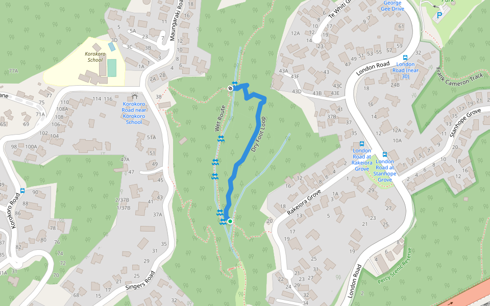
Hutt River Trail (HRT) runs from Petone Station along the beachfront to Hikoikoi Reserve and from there to Te Marua, Upper Hutt where it links into the Remutaka Rail Trail. There are many access points along the Hutt River.
Last updated: Apr 1, 2025