Pacer Walking App
The #1 Walking App
4.8
(1643K)
Open in App
Walking App
Near Me
Clubs
Challenges
Medals
For Workplaces
© Mapbox
© OpenStreetMap
Improve this map
© Mapbox
© OpenStreetMap
Improve this map
France
Centre-Val de Loire
Rozoy-le-Vieil
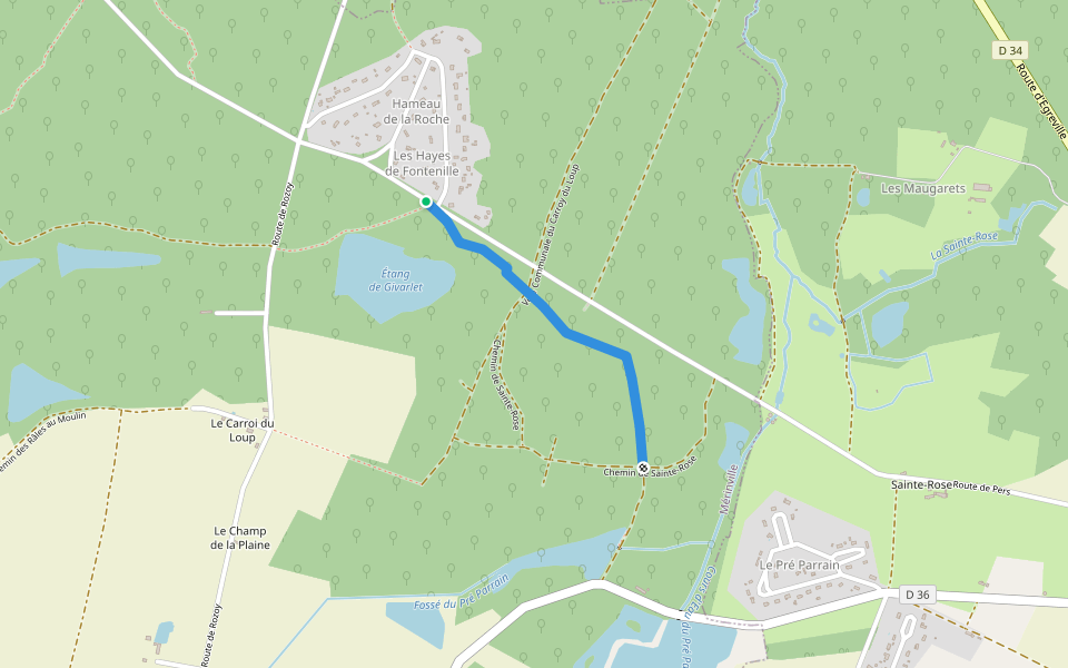
Path from Rozoy to the Ford of Ridet
Rozoy-le-Vieil, Centre-Val de Loire
France
Centre-Val de Loire
Rozoy-le-Vieil
Path from Rozoy to the Ford of Ridet
1
reviews
Length
0.3 mi
Est. Steps
500
Path from Rozoy to the Ford of Ridet Introduction
Path from Rozoy to the Ford of Ridet is a 0.3 mile (500-step) route located near Rozoy-le-Vieil, Centre-Val de Loire. This route has an elevation gain of about 0 ft and is rated as easy. Find the best walking trails near you in Pacer App.
Open in App for Details
Map of Path from Rozoy to the Ford of Ridet
© Mapbox © OpenStreetMap
View Full Map
View Full Map
Last updated: Mar 1, 2025
Route Details
Length
0.3 mi
Est. Steps
500
Recommended Routes Near Path from Rozoy to the Ford of Ridet
Rozoy-le-Vieil, Centre-Val de Loire
Chemin du Bois des Noues
Length 0.2 mi
Rozoy-le-Vieil, Centre-Val de Loire
Path of Gifts to Noues
Length 0.2 mi
Rozoy-le-Vieil, Centre-Val de Loire
Chemin des Maids at the Hallebarderie
Length 0.4 mi
Mérinville, Centre-Val de Loire
Chemin de Pers in Ervauville
Length 0.3 mi
Mérinville, Centre-Val de Loire
Chemin des Hayes from Fontenille to Sainte-Rose in Bazoches
Length 0.7 mi
Mérinville, Centre-Val de Loire
Chemin des Râles in Rosoy le Vieil via Étang Neuf
Length 0.8 mi
Pacer Walking App
Pacer is the
best walking app
for walking challenges and finding
places to walk near me
.
Open in App for Details
Cancel
Yes
Pacer Walking App
The #1 Walking App
4.8
(1643K)
Open in App
Walking App
Near Me
Walking Clubs
Walking Challenges
Medals
For Workplaces