Pacer Walking App
The #1 Walking App
4.8
(1643K)
Open in App
Walking App
Near Me
Clubs
Challenges
Medals
For Workplaces
© Mapbox
© OpenStreetMap
Improve this map
© Mapbox
© OpenStreetMap
Improve this map
Belgium
Comines-Warneton
Dragonfly Path
Comines-Warneton, Région Wallonne
Belgium
Comines-Warneton
Dragonfly Path
1
reviews
Length
0.2 mi
Est. Steps
451
Dragonfly Path Introduction
Dragonfly Path is a 0.2 mile (451-step) route located near Comines-Warneton, Région Wallonne. This route has an elevation gain of about 0 ft and is rated as easy. Find the best walking trails near you in Pacer App.
Open in App for Details
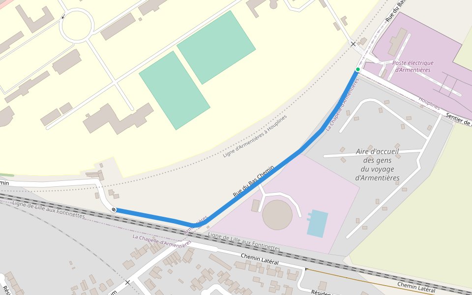
Map of Dragonfly Path
© Mapbox © OpenStreetMap
View Full Map
View Full Map
Last updated: Apr 1, 2025
Route Details
Length
0.2 mi
Est. Steps
451
Recommended Routes Near Dragonfly Path
Komen-Waasten, Waals Gewest
Impasse de la Héronnière
Length 0.4 mi
Armentières, Nord, France
Armentieres
Length 0.7 mi
Armentières, Hauts-de-France
Smugglers' Trail
Length 0.5 mi
La Chapelle-d'Armentières, Hauts-de-France
Rue du Bas Chemin
Length 0.3 mi
Erquinghem-Lys, Hauts-de-France
Berguette Promenade
Length 2.1 mi
· Elev 6.6 ft
Warneton, Hauts-de-France
Warneton Road
Length 0.4 mi
Pacer Walking App
Pacer is the
best walking app
for walking challenges and finding
places to walk near me
.
Open in App for Details
Cancel
Yes
Pacer Walking App
The #1 Walking App
4.8
(1643K)
Open in App
Walking App
Near Me
Walking Clubs
Walking Challenges
Medals
For Workplaces