Pacer Walking App
The #1 Walking App
4.8
(1643K)
Open in App
Walking App
Near Me
Clubs
Challenges
Medals
For Workplaces
© Mapbox
© OpenStreetMap
Improve this map
© Mapbox
© OpenStreetMap
Improve this map
Routes
Trentino-Alto Adige
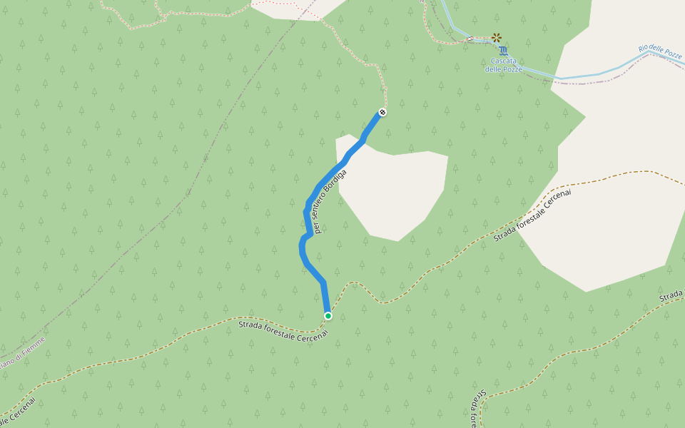
Bordiga path
Trentino-Alto Adige
Trentino-Alto Adige
Bordiga path
1
reviews
Length
0.2 mi
Elev. Gain
32.8 ft
Est. Steps
500
Bordiga path Introduction
Bordiga path is a 0.2 mile (500-step) route located near Trentino-Alto Adige. This route has an elevation gain of about 32.8 ft and is rated as easy. Find the best walking trails near you in Pacer App.
Open in App for Details
Map of Bordiga path
© Mapbox © OpenStreetMap
View Full Map
View Full Map
Last updated: Mar 1, 2025
Route Details
Length
0.2 mi
Elev. Gain
32.8 ft
Est. Steps
500
Recommended Routes Near Bordiga path
Trentino-Alto Adige
Connection with Cercenai forestry
Length 0.3 mi
· Elev 59 ft
Trentino-Alto Adige
Along the Bordiga path
Length 0.2 mi
Trentino-Alto Adige
Path Marshal Giuseppe Farneti
Length 3.2 mi
· Elev 1331.7 ft
Trentino-Alto Adige
Path of the pools
Length 2.8 mi
· Elev 2545.3 ft
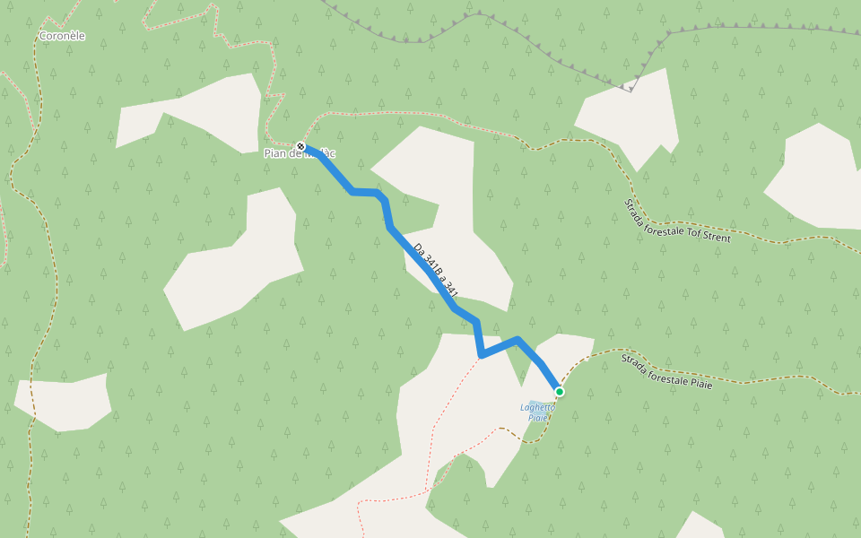
Trentino-South Tyrol
Da 341B a 341
Length 0.2 mi
Predazzo, Trentino-Alto Adige
Lungoavisio walk
Length 0.6 mi
Pacer Walking App
Pacer is the
best walking app
for walking challenges and finding
places to walk near me
.
Open in App for Details
Cancel
Yes
Pacer Walking App
The #1 Walking App
4.8
(1643K)
Open in App
Walking App
Near Me
Walking Clubs
Walking Challenges
Medals
For Workplaces