Pacer Walking App
The #1 Walking App
4.8
(1643K)
Open in App
Walking App
Near Me
Clubs
Challenges
Medals
For Workplaces
© Mapbox
© OpenStreetMap
Improve this map
© Mapbox
© OpenStreetMap
Improve this map
United States
California
Lake Arrowhead
Hook Creek Connector
Lake Arrowhead, California
United States
California
Lake Arrowhead
Hook Creek Connector
1
reviews
Length
0.4 mi
Elev. Gain
150.9 ft
Est. Steps
1000
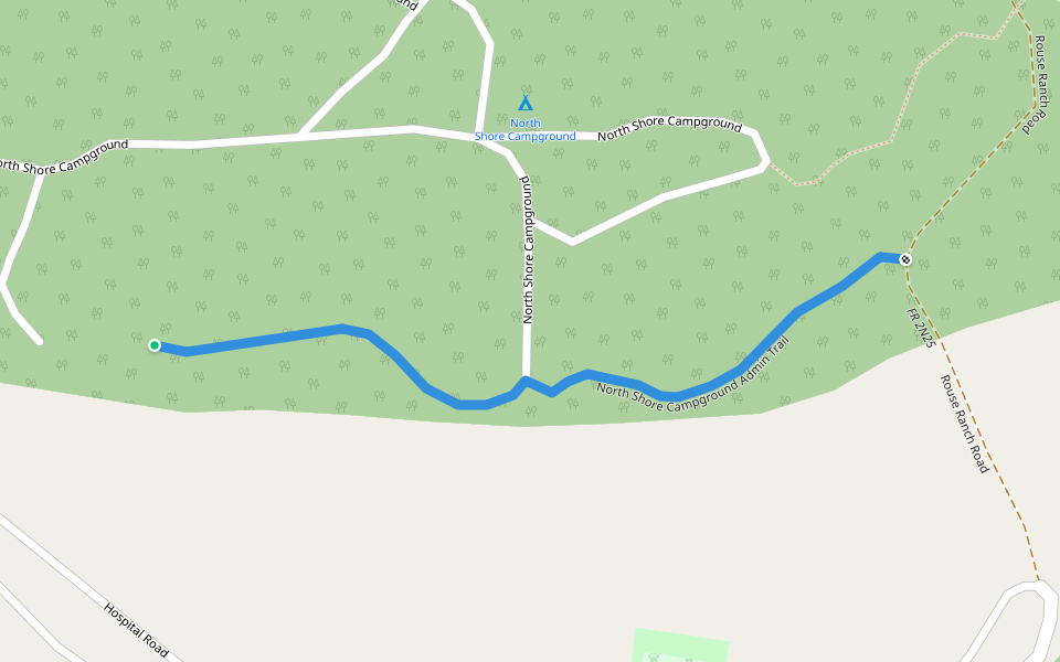
Hook Creek Connector Introduction
Hook Creek Connector is a 0.4 mile (1,000-step) route located near Lake Arrowhead, California. This route has an elevation gain of about 150.9 ft and is rated as hard. Find the best walking trails near you in Pacer App.
Open in App for Details
Map of Hook Creek Connector
© Mapbox © OpenStreetMap
View Full Map
View Full Map
Last updated: Mar 1, 2025
Route Details
Length
0.4 mi
Elev. Gain
150.9 ft
Est. Steps
1000
Recommended Routes Near Hook Creek Connector
San Bernardino, California
Shake Creek Road
Length 2.4 mi
Lake Arrowhead, California
North Shore Recreational Trail
Length 1.9 mi
Lake Arrowhead, California
North Shore Spur Road
Length 0.7 mi
· Elev 101.7 ft
Lake Arrowhead, California
North Shore Campground Admin Trail
Length 0.2 mi
Lake Arrowhead, California
ALA Trail
Length 2.6 mi
· Elev 295.2 ft
Green Valley Lake, California
2W07
Length 2.2 mi
· Elev 118.1 ft
Pacer Walking App
Pacer is the
best walking app
for walking challenges and finding
places to walk near me
.
Open in App for Details
Cancel
Yes
Pacer Walking App
The #1 Walking App
4.8
(1643K)
Open in App
Walking App
Near Me
Walking Clubs
Walking Challenges
Medals
For Workplaces