Pacer Walking App
The #1 Walking App
4.8
(1643K)
Open in App
Walking App
Near Me
Clubs
Challenges
Medals
For Workplaces
© Mapbox
© OpenStreetMap
Improve this map
© Mapbox
© OpenStreetMap
Improve this map
France
Auvergne-Rhône-Alpes
Champagnat-le-Jeune
Path to the Fountain of Discord
Champagnat-le-Jeune, Auvergne-Rhône-Alpes
France
Auvergne-Rhône-Alpes
Champagnat-le-Jeune
Path to the Fountain of Discord
1
reviews
Length
0.2 mi
Est. Steps
500
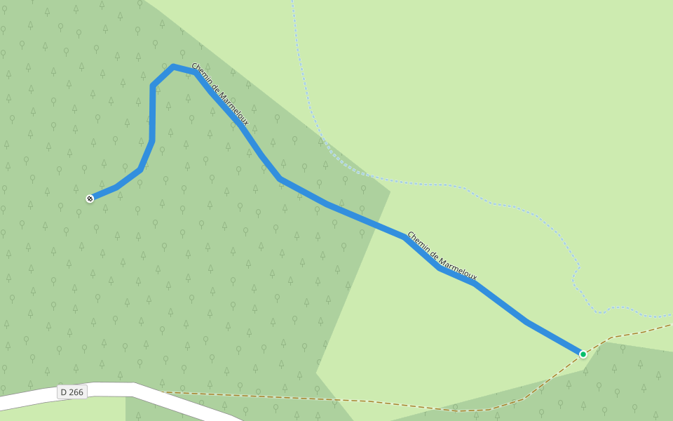
Path to the Fountain of Discord Introduction
Path to the Fountain of Discord is a 0.2 mile (500-step) route located near Champagnat-le-Jeune, Auvergne-Rhône-Alpes. This route has an elevation gain of about 0 ft and is rated as easy. Find the best walking trails near you in Pacer App.
Open in App for Details
Map of Path to the Fountain of Discord
© Mapbox © OpenStreetMap
View Full Map
View Full Map
Last updated: Apr 1, 2025
Route Details
Length
0.2 mi
Est. Steps
500
Recommended Routes Near Path to the Fountain of Discord
Sainte-Catherine, Auvergne-Rhône-Alpes
The Three Valleys
Length 10.2 mi
· Elev 1312 ft
Sainte-Catherine, Auvergne-Rhône-Alpes
Ballad from Crete
Length 8.1 mi
· Elev 997.1 ft
La Chapelle-sur-Usson, Auvergne-Rhône-Alpes
Perrier
Length 3.4 mi
· Elev 321.4 ft
Vernet-la-Varenne, Puy-de-Dôme, France
Montfort castle
Length 4.8 mi
· Elev 679 ft
Sainte-Catherine, Auvergne-Rhône-Alpes
Marmeloux Road
Length 0.3 mi
Auzat-la-Combelle, Auvergne-Rhône-Alpes
The Cross of Auzat
Length 7.5 mi
· Elev 993.8 ft
Pacer Walking App
Pacer is the
best walking app
for walking challenges and finding
places to walk near me
.
Open in App for Details
Cancel
Yes
Pacer Walking App
The #1 Walking App
4.8
(1643K)
Open in App
Walking App
Near Me
Walking Clubs
Walking Challenges
Medals
For Workplaces