Pacer Walking App
The #1 Walking App
4.8
(1643K)
Open in App
Walking App
Near Me
Clubs
Challenges
Medals
For Workplaces
© Mapbox
© OpenStreetMap
Improve this map
© Mapbox
© OpenStreetMap
Improve this map
France
Auvergne-Rhône-Alpes
Barnas
Old Chemin du Pouget
Barnas, Auvergne-Rhône-Alpes
France
Auvergne-Rhône-Alpes
Barnas
Old Chemin du Pouget
1
reviews
Length
0.5 mi
Elev. Gain
32.8 ft
Est. Steps
1000
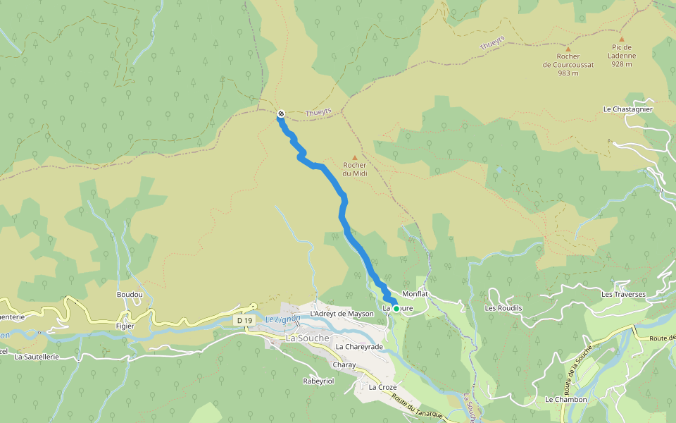
Old Chemin du Pouget Introduction
Old Chemin du Pouget is a 0.5 mile (1,000-step) route located near Barnas, Auvergne-Rhône-Alpes. This route has an elevation gain of about 32.8 ft and is rated as easy. Find the best walking trails near you in Pacer App.
Open in App for Details
Map of Old Chemin du Pouget
© Mapbox © OpenStreetMap
View Full Map
View Full Map
Last updated: Mar 1, 2025
Route Details
Length
0.5 mi
Elev. Gain
32.8 ft
Est. Steps
1000
Recommended Routes Near Old Chemin du Pouget
Barnas, Auvergne-Rhône-Alpes
Chemin du Pouget in Saint-Théophrède
Length 0.7 mi
Barnas, Auvergne-Rhône-Alpes
Giant's Causeway Trail
Length 0.3 mi
· Elev 150.9 ft
Mayres, Auvergne-Rhône-Alpes
Path of Rancel
Length 0.2 mi
La Souche, Auvergne-Rhône-Alpes
Path of Debt
Length 0.2 mi
La Souche, Auvergne-Rhône-Alpes
Fonfreyde trail
Length 1.5 mi
· Elev 1446.5 ft
Mayres, Auvergne-Rhône-Alpes
Old Mayres - Chaumienne
Length 1.5 mi
· Elev 888.9 ft
Pacer Walking App
Pacer is the
best walking app
for walking challenges and finding
places to walk near me
.
Open in App for Details
Cancel
Yes
Pacer Walking App
The #1 Walking App
4.8
(1643K)
Open in App
Walking App
Near Me
Walking Clubs
Walking Challenges
Medals
For Workplaces