Pacer Walking App
The #1 Walking App
4.8
(1643K)
Open in App
Walking App
Near Me
Clubs
Challenges
Medals
For Workplaces
© Mapbox
© OpenStreetMap
Improve this map
© Mapbox
© OpenStreetMap
Improve this map
France
Auvergne-Rhône-Alpes
Vallorcine
Escalade "Into the wild"
Vallorcine, Auvergne-Rhône-Alpes
France
Auvergne-Rhône-Alpes
Vallorcine
Escalade "Into the wild"
1
reviews
Length
0.2 mi
Elev. Gain
282.1 ft
Est. Steps
452
Escalade "Into the wild" Introduction
Escalade "Into the wild" is a 0.2 mile (452-step) route located near Vallorcine, Auvergne-Rhône-Alpes. This route has an elevation gain of about 282.1 ft and is rated as hard. Find the best walking trails near you in Pacer App.
Open in App for Details
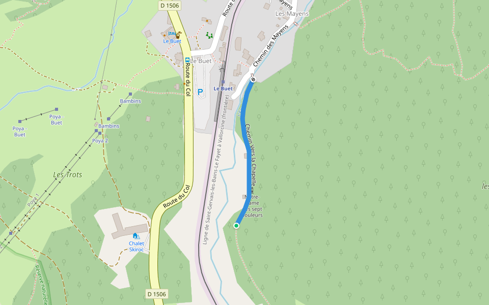
Map of Escalade "Into the wild"
© Mapbox © OpenStreetMap
View Full Map
View Full Map
Last updated: Apr 1, 2025
Route Details
Length
0.2 mi
Elev. Gain
282.1 ft
Est. Steps
452
Recommended Routes Near Escalade "Into the wild"
Vallorcine, Auvergne-Rhône-Alpes
Climbing: Rugrats Island
Length 0.3 mi
· Elev 242.7 ft
Vallorcine, Haute-Savoie, France
Vallon de Bérard Nature Reserve
Length 2.5 mi
· Elev 1758.1 ft
Vallorcine, Auvergne-Rhône-Alpes
Poya Road
Length 0.2 mi
Vallorcine, Auvergne-Rhône-Alpes
Mount Buet
Length 6.1 mi
· Elev 5507.1 ft
Vallorcine, Auvergne-Rhône-Alpes
Path Towards the Chapel
Length 0.2 mi
Chamonix-Mont-Blanc, Haute-Savoie, France
The white lake back and forth
Length 7.3 mi
· Elev 3808.1 ft
Pacer Walking App
Pacer is the
best walking app
for walking challenges and finding
places to walk near me
.
Open in App for Details
Cancel
Yes
Pacer Walking App
The #1 Walking App
4.8
(1643K)
Open in App
Walking App
Near Me
Walking Clubs
Walking Challenges
Medals
For Workplaces