Pacer Walking App
The #1 Walking App
4.8
(1643K)
Open in App
Walking App
Near Me
Clubs
Challenges
Medals
For Workplaces
© Mapbox
© OpenStreetMap
Improve this map
© Mapbox
© OpenStreetMap
Improve this map
France
Auvergne-Rhône-Alpes
Lullin
Chemin de Tré le Mont au Col
Lullin, Auvergne-Rhône-Alpes
France
Auvergne-Rhône-Alpes
Lullin
Chemin de Tré le Mont au Col
1
reviews
Length
0.8 mi
Elev. Gain
6.6 ft
Est. Steps
1500
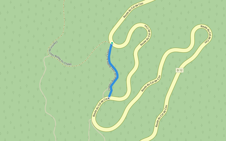
Chemin de Tré le Mont au Col Introduction
Chemin de Tré le Mont au Col is a 0.8 mile (1,500-step) route located near Lullin, Auvergne-Rhône-Alpes. This route has an elevation gain of about 6.6 ft and is rated as easy. Find the best walking trails near you in Pacer App.
Open in App for Details
Map of Chemin de Tré le Mont au Col
© Mapbox © OpenStreetMap
View Full Map
View Full Map
Last updated: Apr 1, 2025
Route Details
Length
0.8 mi
Elev. Gain
6.6 ft
Est. Steps
1500
Recommended Routes Near Chemin de Tré le Mont au Col
Draillant, Auvergne-Rhône-Alpes
Chemin de la Taille in Guerin
Length 0.3 mi
Lullin, Auvergne-Rhône-Alpes
Forchat Ridge
Length 0.5 mi
Habère-Poche, Haute-Savoie, France
Mont Forchat - Rural path of Moises
Length 5.2 mi
· Elev 1879.4 ft
Orcier, Haute-Savoie, France
Mont d'Hermone
Length 3.5 mi
· Elev 1007 ft
Cervens, Auvergne-Rhône-Alpes
Rural path from Bolley to Châlet
Length 0.1 mi
Orcier, Auvergne-Rhône-Alpes
Pêt Gras Rural Road
Length 0.1 mi
Pacer Walking App
Pacer is the
best walking app
for walking challenges and finding
places to walk near me
.
Open in App for Details
Cancel
Yes
Pacer Walking App
The #1 Walking App
4.8
(1643K)
Open in App
Walking App
Near Me
Walking Clubs
Walking Challenges
Medals
For Workplaces