Pacer Walking App
The #1 Walking App
4.8
(1643K)
Open in App
Walking App
Near Me
Clubs
Challenges
Medals
For Workplaces
© Mapbox
© OpenStreetMap
Improve this map
© Mapbox
© OpenStreetMap
Improve this map
France
Hauts-de-France
Pont-à-Marcq
Path of Molpas
Pont-à-Marcq, Hauts-de-France
France
Hauts-de-France
Pont-à-Marcq
Path of Molpas
1
reviews
Length
0.2 mi
Est. Steps
391
Path of Molpas Introduction
Path of Molpas is a 0.2 mile (391-step) route located near Pont-à-Marcq, Hauts-de-France. This route has an elevation gain of about 0 ft and is rated as easy. Find the best walking trails near you in Pacer App.
Open in App for Details
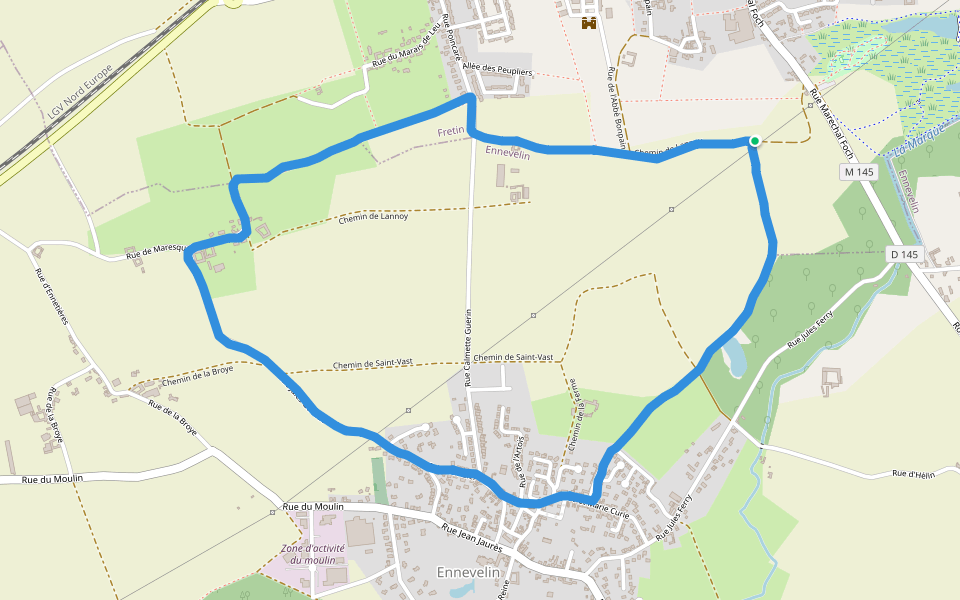
Map of Path of Molpas
© Mapbox © OpenStreetMap
View Full Map
View Full Map
Last updated: Apr 1, 2025
Route Details
Length
0.2 mi
Est. Steps
391
Recommended Routes Near Path of Molpas
Ennevelin, Nord, France
The brand
Length 5.7 mi
Fretin, Nord, France
Lannoy path
Length 3.1 mi
Fretin, Nord, France
The brand
Length 4.5 mi
Templeuve-en-Pévèle, Hauts-de-France
Rue Gaston Dubus
Length 0.1 mi
Fretin, Hauts-de-France
Chemin Dreve du Château
Length 0.1 mi
Attiches, Hauts-de-France
Leu Pindu Path
Length 0.5 mi
Pacer Walking App
Pacer is the
best walking app
for walking challenges and finding
places to walk near me
.
Open in App for Details
Cancel
Yes
Pacer Walking App
The #1 Walking App
4.8
(1643K)
Open in App
Walking App
Near Me
Walking Clubs
Walking Challenges
Medals
For Workplaces