Pacer Walking App
The #1 Walking App
4.8
(1643K)
Open in App
Walking App
Near Me
Clubs
Challenges
Medals
For Workplaces
© Mapbox
© OpenStreetMap
Improve this map
© Mapbox
© OpenStreetMap
Improve this map
Canada
British Columbia
Hedley
Brent Mountain Trail
Shingle Creek, British Columbia
Canada
British Columbia
Hedley
Brent Mountain Trail
1
reviews
Length
2.7 mi
Est. Steps
6000
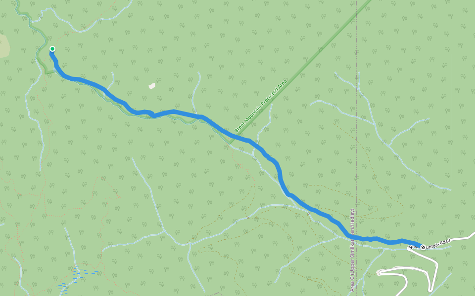
Brent Mountain Trail Introduction
Brent Mountain Trail is a 2.7 mile (6,000-step) route located near Shingle Creek, British Columbia. This route has an elevation gain of about 0 ft and is rated as easy. Find the best walking trails near you in Pacer App.
Open in App for Details
Map of Brent Mountain Trail
© Mapbox © OpenStreetMap
View Full Map
View Full Map
Last updated: Mar 1, 2025
Route Details
Length
2.7 mi
Est. Steps
6000
Recommended Routes Near Brent Mountain Trail
Summerland, British Columbia
June Creek Trail
Length 2.5 mi
· Elev 36.1 ft
Summerland, British Columbia
Skulaow Creek Trail
Length 1.5 mi
Summerland, British Columbia
Shatford Creek Trail
Length 3.6 mi
· Elev 23 ft
Summerland, British Columbia
Burn Perimeter Trail
Length 3.2 mi
· Elev 436.2 ft
Osoyoos, British Columbia
View Connector
Length 1.6 mi
· Elev 72.2 ft
Osoyoos, British Columbia
Snowflake Loop
Length 1.5 mi
· Elev 29.5 ft
Nearby Parks
Brent Mountain Protected Area
Pacer Walking App
Pacer is the
best walking app
for walking challenges and finding
places to walk near me
.
Open in App for Details
Cancel
Yes
Pacer Walking App
The #1 Walking App
4.8
(1643K)
Open in App
Walking App
Near Me
Walking Clubs
Walking Challenges
Medals
For Workplaces