Pacer Walking App
The #1 Walking App
4.8
(1643K)
Open in App
Walking App
Near Me
Clubs
Challenges
Medals
For Workplaces
© Mapbox
© OpenStreetMap
Improve this map
© Mapbox
© OpenStreetMap
Improve this map
United Kingdom
England
West Stourmouth
Augustine Way
West Stourmouth, England
United Kingdom
England
West Stourmouth
Augustine Way
1
reviews
Length
0.3 mi
Est. Steps
500
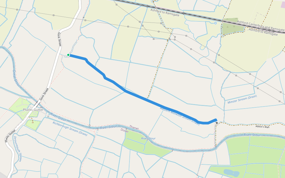
Augustine Way Introduction
Augustine Way is a 0.3 mile (500-step) route located near West Stourmouth, England. This route has an elevation gain of about 0 ft and is rated as easy. Find the best walking trails near you in Pacer App.
Open in App for Details
Map of Augustine Way
© Mapbox © OpenStreetMap
View Full Map
View Full Map
Last updated: Mar 1, 2025
Route Details
Length
0.3 mi
Est. Steps
500
Recommended Routes Near Augustine Way
Monkton, England
Abbot's Wall
Length 1.1 mi
Chislet, England
Tipper Drove
Length 0.1 mi
Ash, England
Weddington Lane
Length 0.2 mi
Hoath, England
Beacon Wood
Length 2.6 mi
Littlebourne, England
School Path
Length 0.2 mi
Birchington-on-Sea, England
Minnis Bay
Length 3.2 mi
· Elev 127.9 ft
Pacer Walking App
Pacer is the
best walking app
for walking challenges and finding
places to walk near me
.
Open in App for Details
Cancel
Yes
Pacer Walking App
The #1 Walking App
4.8
(1643K)
Open in App
Walking App
Near Me
Walking Clubs
Walking Challenges
Medals
For Workplaces