Pacer Walking App
The #1 Walking App
4.8
(1643K)
Open in App
Walking App
Near Me
Clubs
Challenges
Medals
For Workplaces
© Mapbox
© OpenStreetMap
Improve this map
© Mapbox
© OpenStreetMap
Improve this map
Canada
British Columbia
Port Renfrew
Matty's Trail
Port Renfrew, British Columbia
Canada
British Columbia
Port Renfrew
Matty's Trail
1
reviews
Length
0.7 mi
Est. Steps
1500
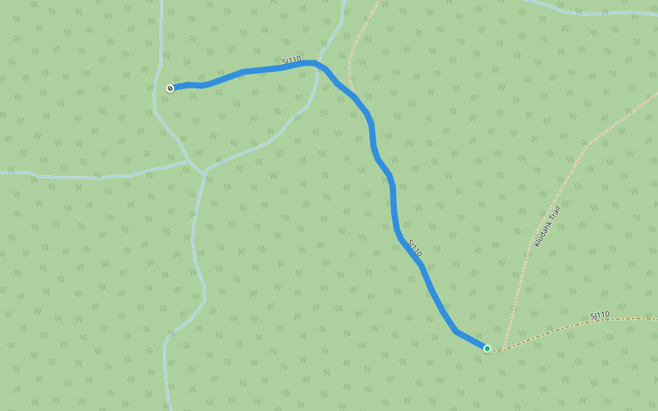
Matty's Trail Introduction
Matty's Trail is a 0.7 mile (1,500-step) route located near Port Renfrew, British Columbia. This route has an elevation gain of about 0 ft and is rated as easy. Find the best walking trails near you in Pacer App.
Open in App for Details
Map of Matty's Trail
© Mapbox © OpenStreetMap
View Full Map
View Full Map
Last updated: Apr 1, 2025
Route Details
Length
0.7 mi
Est. Steps
1500
Recommended Routes Near Matty's Trail
Port Renfrew, British Columbia
Kludahk access trail
Length 0.2 mi
Port Renfrew, British Columbia
JR100
Length 2.6 mi
· Elev 980.7 ft
Port Renfrew, British Columbia
SJ110
Length 0.4 mi
Port Renfrew, British Columbia
SJ112
Length 0.5 mi
· Elev 85.3 ft
Port Renfrew, British Columbia
N524
Length 0.2 mi
Port Renfrew, British Columbia
Lilly Loop Trail
Length 0.1 mi
Pacer Walking App
Pacer is the
best walking app
for walking challenges and finding
places to walk near me
.
Open in App for Details
Cancel
Yes
Pacer Walking App
The #1 Walking App
4.8
(1643K)
Open in App
Walking App
Near Me
Walking Clubs
Walking Challenges
Medals
For Workplaces