Pacer Walking App
The #1 Walking App
4.8
(1643K)
Open in App
Walking App
Near Me
Clubs
Challenges
Medals
For Workplaces
© Mapbox
© OpenStreetMap
Improve this map
© Mapbox
© OpenStreetMap
Improve this map
France
Centre-Val de Loire
Mérinville
Chemin de Pers in Ervauville
Mérinville, Centre-Val de Loire
France
Centre-Val de Loire
Mérinville
Chemin de Pers in Ervauville
1
reviews
Length
0.3 mi
Est. Steps
500
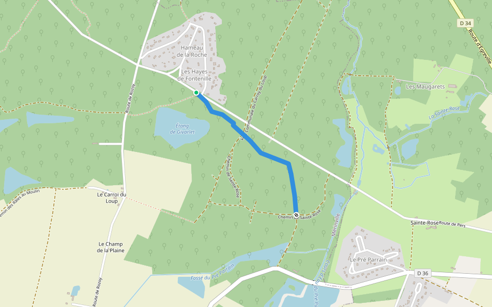
Chemin de Pers in Ervauville Introduction
Chemin de Pers in Ervauville is a 0.3 mile (500-step) route located near Mérinville, Centre-Val de Loire. This route has an elevation gain of about 0 ft and is rated as easy. Find the best walking trails near you in Pacer App.
Open in App for Details
Map of Chemin de Pers in Ervauville
© Mapbox © OpenStreetMap
View Full Map
View Full Map
Last updated: Mar 1, 2025
Route Details
Length
0.3 mi
Est. Steps
500
Recommended Routes Near Chemin de Pers in Ervauville
Mérinville, Centre-Val de Loire
Chemin des Hayes from Fontenille to Sainte-Rose in Bazoches
Length 0.7 mi
Rozoy-le-Vieil, Centre-Val de Loire
Chemin du Bois des Noues
Length 0.2 mi
Mérinville, Centre-Val de Loire
Chemin des Râles in Rosoy le Vieil via Étang Neuf
Length 0.8 mi
Rozoy-le-Vieil, Centre-Val de Loire
Path from Rozoy to the Ford of Ridet
Length 0.3 mi
Mérinville, Centre-Val de Loire
Chemin des Courillons in Sainte-Rose
Length 0.6 mi
Rozoy-le-Vieil, Centre-Val de Loire
Path of Gifts to Noues
Length 0.2 mi
Pacer Walking App
Pacer is the
best walking app
for walking challenges and finding
places to walk near me
.
Open in App for Details
Cancel
Yes
Pacer Walking App
The #1 Walking App
4.8
(1643K)
Open in App
Walking App
Near Me
Walking Clubs
Walking Challenges
Medals
For Workplaces