Pacer Walking App
The #1 Walking App
4.8
(1643K)
Open in App
Walking App
Near Me
Clubs
Challenges
Medals
For Workplaces
© Mapbox
© OpenStreetMap
Improve this map
© Mapbox
© OpenStreetMap
Improve this map
France
Auvergne-Rhône-Alpes
Reyvroz
Path of the Jump
Reyvroz, Auvergne-Rhône-Alpes
France
Auvergne-Rhône-Alpes
Reyvroz
Path of the Jump
1
reviews
Length
0.6 mi
Est. Steps
1500
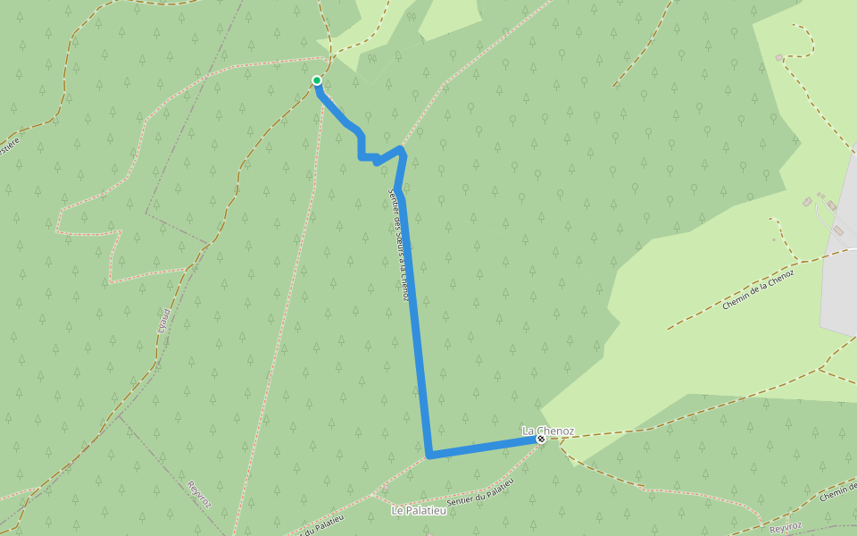
Path of the Jump Introduction
Path of the Jump is a 0.6 mile (1,500-step) route located near Reyvroz, Auvergne-Rhône-Alpes. This route has an elevation gain of about 0 ft and is rated as easy. Find the best walking trails near you in Pacer App.
Open in App for Details
Map of Path of the Jump
© Mapbox © OpenStreetMap
View Full Map
View Full Map
Last updated: Apr 1, 2025
Route Details
Length
0.6 mi
Est. Steps
1500
Recommended Routes Near Path of the Jump
Reyvroz, Auvergne-Rhône-Alpes
Sisters’ Trail at Chenoz
Length 0.6 mi
Reyvroz, Auvergne-Rhône-Alpes
Palatieu Trail
Length 0.6 mi
Reyvroz, Auvergne-Rhône-Alpes
Trail from Chapelle des Pas to Montagne des Soeurs
Length 1.1 mi
· Elev 793.8 ft
Lyaud, Haute-Savoie, France
Chemin des Scieux
Length 1.2 mi
· Elev 187 ft
Orcier, Haute-Savoie, France
Mont d'Hermone
Length 3.5 mi
· Elev 1007 ft
Orcier, Auvergne-Rhône-Alpes
Pêt Gras Rural Road
Length 0.1 mi
Pacer Walking App
Pacer is the
best walking app
for walking challenges and finding
places to walk near me
.
Open in App for Details
Cancel
Yes
Pacer Walking App
The #1 Walking App
4.8
(1643K)
Open in App
Walking App
Near Me
Walking Clubs
Walking Challenges
Medals
For Workplaces