Pacer Walking App
The #1 Walking App
4.8
(1643K)
Open in App
Walking App
Near Me
Clubs
Challenges
Medals
For Workplaces
© Mapbox
© OpenStreetMap
Improve this map
© Mapbox
© OpenStreetMap
Improve this map
France
Île-de-France
Autouillet
Park Path
Autouillet, Île-de-France
France
Île-de-France
Autouillet
Park Path
1
reviews
Length
0.1 mi
Est. Steps
302
Park Path Introduction
Park Path is a 0.1 mile (302-step) route located near Autouillet, Île-de-France. This route has an elevation gain of about 0 ft and is rated as easy. Find the best walking trails near you in Pacer App.
Open in App for Details
Map of Park Path
© Mapbox © OpenStreetMap
View Full Map
View Full Map
Last updated: Apr 1, 2025
Route Details
Length
0.1 mi
Est. Steps
302
Recommended Routes Near Park Path
Villiers-le-Mahieu, Île-de-France
Sente du Blayer
Length 0.5 mi
Autouillet, Île-de-France
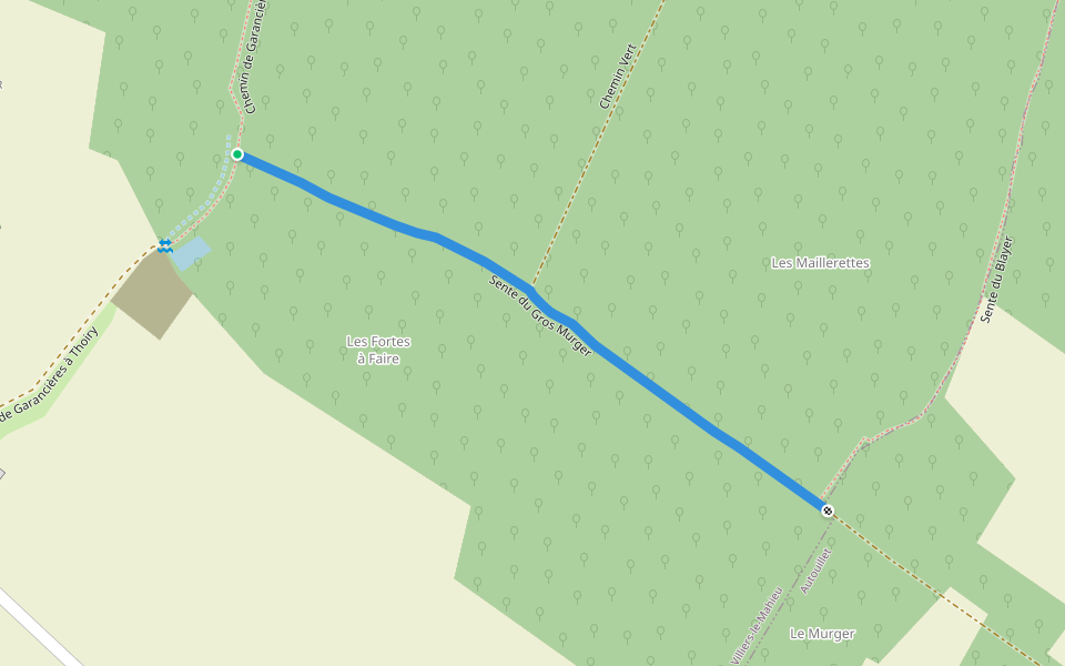
Gros Murger Trail
Length 0.3 mi
Villiers-le-Mahieu, Île-de-France
Path from Garancières to Thoiry
Length 0.5 mi
· Elev 23 ft
Thoiry, Île-de-France
Azalea Alley
Length 0.2 mi
Thoiry, Île-de-France
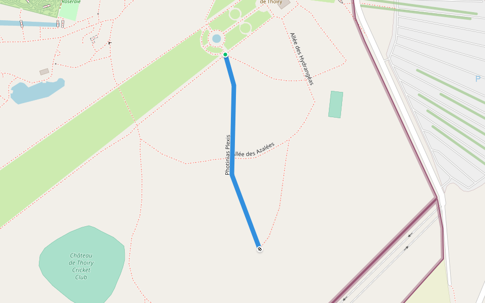
Photinias Plexis
Length 0.2 mi
Villiers-le-Mahieu, Île-de-France
Path from Villiers-le-Mahieu to Thoiry
Length 0.5 mi
Pacer Walking App
Pacer is the
best walking app
for walking challenges and finding
places to walk near me
.
Open in App for Details
Cancel
Yes
Pacer Walking App
The #1 Walking App
4.8
(1643K)
Open in App
Walking App
Near Me
Walking Clubs
Walking Challenges
Medals
For Workplaces