Pacer Walking App
The #1 Walking App
4.8
(1643K)
Open in App
Walking App
Near Me
Clubs
Challenges
Medals
For Workplaces
© Mapbox
© OpenStreetMap
Improve this map
© Mapbox
© OpenStreetMap
Improve this map
Canada
British Columbia
Sechelt
TNT
Sechelt, British Columbia
Canada
British Columbia
Sechelt
TNT
1
reviews
Length
0.2 mi
Est. Steps
484
TNT Introduction
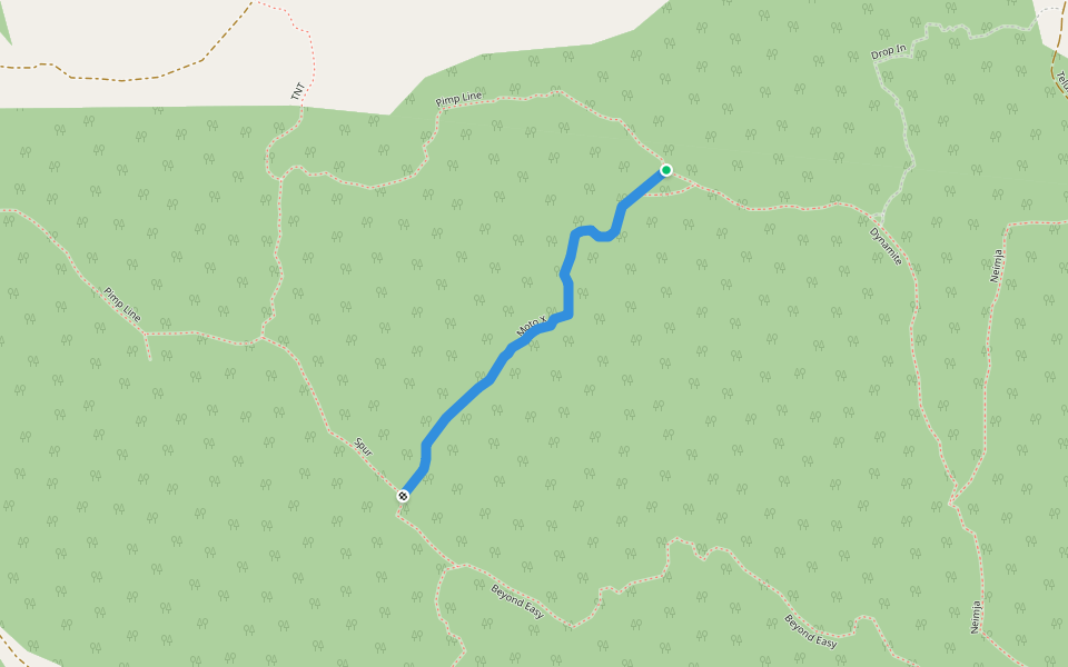
TNT is a 0.2 mile (484-step) route located near Sechelt, British Columbia. This route has an elevation gain of about 0 ft and is rated as easy. Find the best walking trails near you in Pacer App.
Open in App for Details
Map of TNT
© Mapbox © OpenStreetMap
View Full Map
View Full Map
Last updated: Apr 1, 2025
Route Details
Length
0.2 mi
Est. Steps
484
Recommended Routes Near TNT
Sechelt, British Columbia
Dynamite
Length 0.5 mi
· Elev 193.5 ft
Sechelt, British Columbia
Moto X
Length 0.4 mi
Sechelt, British Columbia
Pimp Line
Length 1 mi
Sechelt, British Columbia
Neimja
Length 1 mi
Sechelt, British Columbia
Loco-Motion
Length 0.3 mi
Sechelt, British Columbia
Beyond Easy
Length 1.1 mi
· Elev 285.4 ft
Pacer Walking App
Pacer is the
best walking app
for walking challenges and finding
places to walk near me
.
Open in App for Details
Cancel
Yes
Pacer Walking App
The #1 Walking App
4.8
(1643K)
Open in App
Walking App
Near Me
Walking Clubs
Walking Challenges
Medals
For Workplaces