Pacer Walking App
The #1 Walking App
4.8
(1643K)
Open in App
Walking App
Near Me
Clubs
Challenges
Medals
For Workplaces
© Mapbox
© OpenStreetMap
Improve this map
© Mapbox
© OpenStreetMap
Improve this map
Canada
Manitoba
Ninette
Snoman Trail
Ninette, Manitoba
Canada
Manitoba
Ninette
Snoman Trail
1
reviews
Length
14.8 mi
Elev. Gain
213.2 ft
Est. Steps
34000
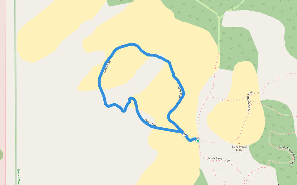
Snoman Trail Introduction
Snoman Trail is a 14.9 mile (34,000-step) route located near Ninette, Manitoba. This route has an elevation gain of about 213.2 ft and is rated as hard. Find the best walking trails near you in Pacer App.
Open in App for Details
Map of Snoman Trail
© Mapbox © OpenStreetMap
View Full Map
View Full Map
Last updated: Mar 1, 2025
Route Details
Length
14.8 mi
Elev. Gain
213.2 ft
Est. Steps
34000
Recommended Routes Near Snoman Trail
Belmont, Manitoba
Snoman Trail
Length 45.9 mi
· Elev 13.1 ft
Glenora, Manitoba
Snoman Trail
Length 9.8 mi
· Elev 144.3 ft
Glenora, Manitoba
Snoman Trail
Length 23.3 mi
· Elev 88.6 ft
Stockton, Manitoba
Snoman Trail
Length 40.8 mi
· Elev 449.4 ft
Glenboro, Manitoba
Oasis Trail
Length 1.1 mi
· Elev 59 ft
Pilot Mound, Manitoba
Snoman Trail
Length 38.5 mi
· Elev 177.1 ft
Pacer Walking App
Pacer is the
best walking app
for walking challenges and finding
places to walk near me
.
Open in App for Details
Cancel
Yes
Pacer Walking App
The #1 Walking App
4.8
(1643K)
Open in App
Walking App
Near Me
Walking Clubs
Walking Challenges
Medals
For Workplaces