Pacer Walking App
The #1 Walking App
4.8
(1643K)
Open in App
Walking App
Near Me
Clubs
Challenges
Medals
For Workplaces
© Mapbox
© OpenStreetMap
Improve this map
© Mapbox
© OpenStreetMap
Improve this map
France
Hauts-de-France
Berlaimont
Hachette Trail in Sart-Baras
Locquignol, Hauts-de-France
France
Hauts-de-France
Berlaimont
Hachette Trail in Sart-Baras
1
reviews
Length
2.4 mi
Est. Steps
5500
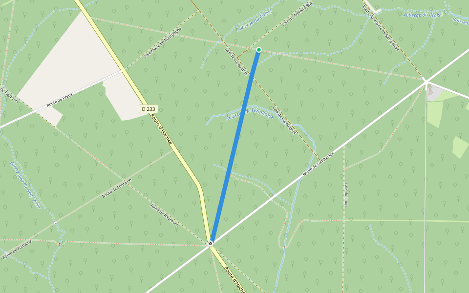
Hachette Trail in Sart-Baras Introduction
Hachette Trail in Sart-Baras is a 2.4 mile (5,500-step) route located near Locquignol, Hauts-de-France. This route has an elevation gain of about 0 ft and is rated as easy. Find the best walking trails near you in Pacer App.
Open in App for Details
Map of Hachette Trail in Sart-Baras
© Mapbox © OpenStreetMap
View Full Map
View Full Map
Last updated: Apr 1, 2025
Route Details
Length
2.4 mi
Est. Steps
5500
Recommended Routes Near Hachette Trail in Sart-Baras
Locquignol, Hauts-de-France
Laie Bauduin
Length 0.4 mi
Locquignol, Hauts-de-France
Trail of the Great Pastures in Le Croisil
Length 1.3 mi
Locquignol, Nord, France
Laie du Cerf
Length 2.3 mi
· Elev 501.8 ft
Locquignol, Hauts-de-France
Hermitage Trail
Length 0.8 mi
Berlaimont, Hauts-de-France
Circuit du Sars Bara
Length 8.3 mi
· Elev 124.6 ft
Leval, Hauts-de-France
Heart of Nature Route of Leval’s Dead Arm
Length 0.2 mi
Pacer Walking App
Pacer is the
best walking app
for walking challenges and finding
places to walk near me
.
Open in App for Details
Cancel
Yes
Pacer Walking App
The #1 Walking App
4.8
(1643K)
Open in App
Walking App
Near Me
Walking Clubs
Walking Challenges
Medals
For Workplaces