Pacer Walking App
The #1 Walking App
4.8
(1.8M)
Open in App
Walking App
Near Me
Clubs
Challenges
Medals
For Workplaces
Try Pacer for Free
© Mapbox
© OpenStreetMap
Improve this map
© Mapbox
© OpenStreetMap
Improve this map
France
Provence-Alpes-Côte d'Azur
Bédoin
Mont-Ventoux road
Bédoin, Provence-Alpes-Côte d'Azur
France
Provence-Alpes-Côte d'Azur
Bédoin
Mont-Ventoux road
2
reviews
Length
0.2 mi
Est. Steps
345
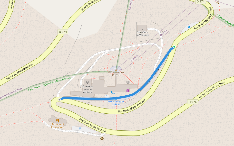
Mont-Ventoux road Introduction
Mont-Ventoux road is a 0.2 mile (345-step) route located near Bédoin, Provence-Alpes-Côte d'Azur. This route has an elevation gain of about 0 ft and is rated as easy. Find the best walking trails near you in Pacer App.
Open in App for Details
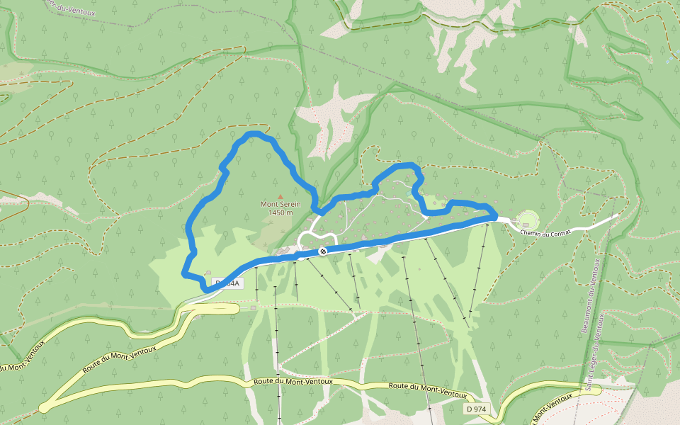
Map of Mont-Ventoux road
© Mapbox © OpenStreetMap
View Full Map
View Full Map
Reviews
4.5
(2)
Diane
2025/08/15
Nadeige
2024/08/30
Last updated: Sep 1, 2025
Route Details
Length
0.2 mi
Est. Steps
345
Recommended Routes Near Mont-Ventoux road
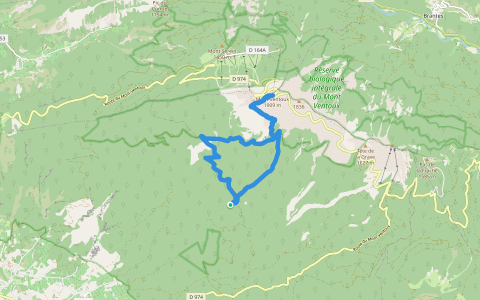
Saint-Léger-du-Ventoux, Vaucluse, France
Mont Ventoux
Length 5.7 mi
· Elev 1856.5 ft
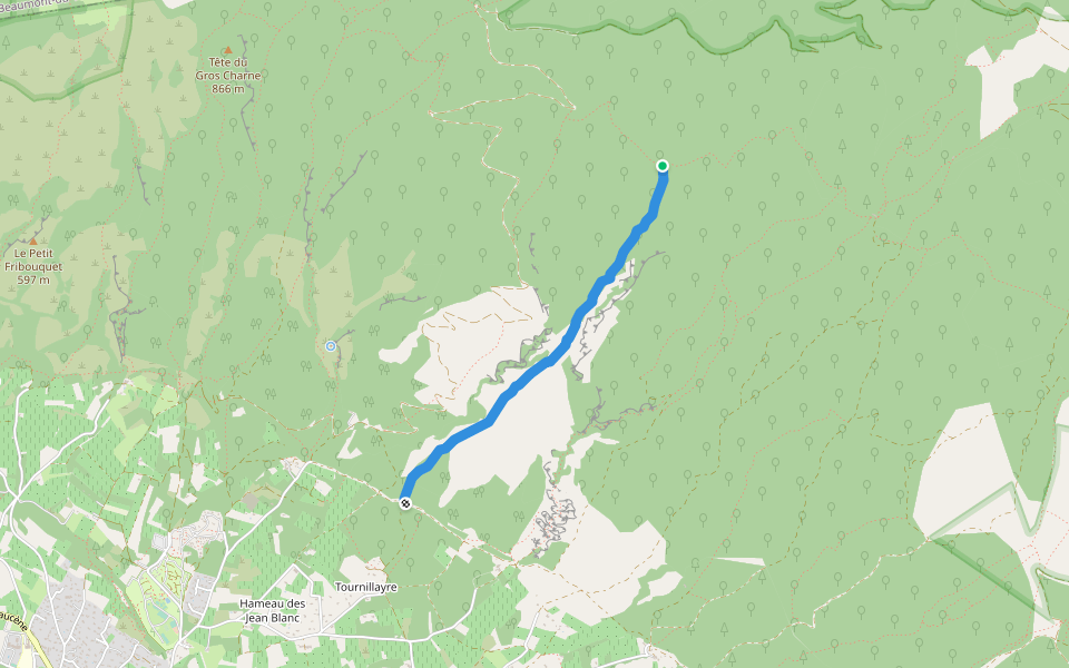
Beaumont-du-Ventoux, Vaucluse, France
Mount Serene
Length 2.6 mi
· Elev 433 ft
Bédoin, Vaucluse, France
Mont Ventoux Biosphere Reserve (central area) - Jas de la Couanche trail
Length 8.6 mi
· Elev 4952.8 ft
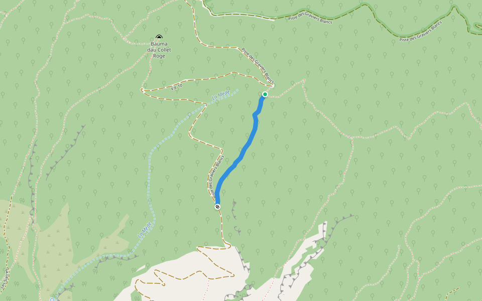
Bédoin, Provence-Alpes-Côte d'Azur
Between Bouisse and Capelan
Length 1.7 mi
Bédoin, Provence-Alpes-Côte d'Azur
Combe de Mars summit
Length 0.5 mi
Bédoin, Vaucluse, France
Jas de la Couanche track
Length 12.4 mi
· Elev 4506.7 ft
Pacer Walking App
Pacer is the
best walking app
for walking challenges and finding
places to walk near me
.
Start Your Joyful Steps on New Routes
The Best Walking App
1.8M+ 5-star ratings
100M+ global downloads
Scan to download free
Scan QR code with your phone to download
Pacer Walking App
Open in App for Details
Cancel
Yes
Pacer Walking App
The #1 Walking App
4.8
(1.8M)
Open in App
Walking App
Near Me
Walking Clubs
Walking Challenges
Medals
For Workplaces