Pacer Walking App
The #1 Walking App
4.8
(1643K)
Open in App
Walking App
Near Me
Clubs
Challenges
Medals
For Workplaces
© Mapbox
© OpenStreetMap
Improve this map
© Mapbox
© OpenStreetMap
Improve this map
United Kingdom
England
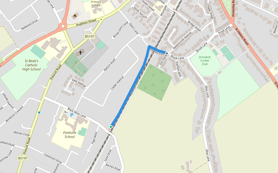
Ormskirk
Railway Path
Ormskirk, England
United Kingdom
England
Ormskirk
Railway Path
1
reviews
Length
0.3 mi
Est. Steps
1000
Railway Path Introduction
Railway Path is a 0.3 mile (1,000-step) route located near Ormskirk, England. This route has an elevation gain of about 0 ft and is rated as easy. Find the best walking trails near you in Pacer App.
Open in App for Details
Map of Railway Path
© Mapbox © OpenStreetMap
View Full Map
View Full Map
Last updated: Apr 1, 2025
Route Details
Length
0.3 mi
Est. Steps
1000
Recommended Routes Near Railway Path
West Lancashire, Ormskirk, England
Ruff Wood
Length 0.6 mi
Ormskirk, England
Edge Hill University
Length 0.3 mi
Aughton, Ormskirk, England
Town Green
Length 1.9 mi
· Elev 72.2 ft
Ormskirk, England
The Smith Way
Length 0.3 mi
Aughton, England
Ron Gordon Way
Length 0.6 mi
Scarisbrick, England
Harridge Lane
Length 1.1 mi
Pacer Walking App
Pacer is the
best walking app
for walking challenges and finding
places to walk near me
.
Open in App for Details
Cancel
Yes
Pacer Walking App
The #1 Walking App
4.8
(1643K)
Open in App
Walking App
Near Me
Walking Clubs
Walking Challenges
Medals
For Workplaces