Pacer Walking App
The #1 Walking App
4.8
(1643K)
Open in App
Walking App
Near Me
Clubs
Challenges
Medals
For Workplaces
© Mapbox
© OpenStreetMap
Improve this map
© Mapbox
© OpenStreetMap
Improve this map
United States
California
Fairfax
Porcupine Trail
Woodacre, California
United States
California
Fairfax
Porcupine Trail
1
reviews
Length
0.4 mi
Elev. Gain
157.4 ft
Est. Steps
1000
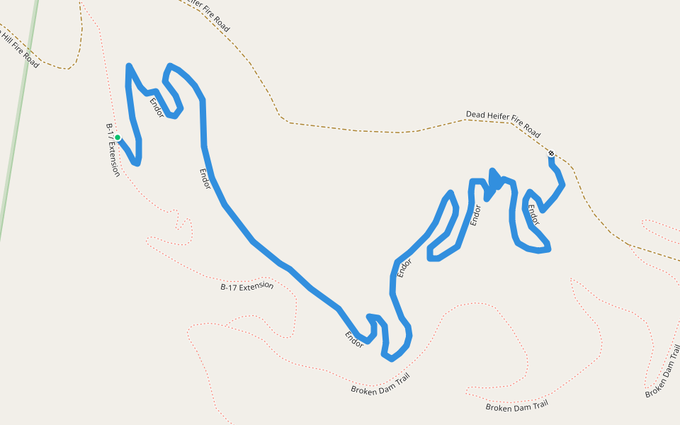
Porcupine Trail Introduction
Porcupine Trail is a 0.4 mile (1,000-step) route located near Woodacre, California. This route has an elevation gain of about 157.4 ft and is rated as hard. Find the best walking trails near you in Pacer App.
Open in App for Details
Map of Porcupine Trail
© Mapbox © OpenStreetMap
View Full Map
View Full Map
Last updated: Apr 1, 2025
Route Details
Length
0.4 mi
Elev. Gain
157.4 ft
Est. Steps
1000
Recommended Routes Near Porcupine Trail
Fairfax, California
White Hill Trail
Length 0.9 mi
Fairfax, California
Martha L. McCormack Trail
Length 0.2 mi
Fairfax, California
B-17 Extension
Length 0.3 mi
· Elev 26.2 ft
Fairfax, California
Endor
Length 0.6 mi
· Elev 26.2 ft
Fairfax, California
Baywood Canyon Trail
Length 0.4 mi
Woodacre, California, USA
Central Park of Woodacre
Length 3.7 mi
· Elev 501.8 ft
Pacer Walking App
Pacer is the
best walking app
for walking challenges and finding
places to walk near me
.
Open in App for Details
Cancel
Yes
Pacer Walking App
The #1 Walking App
4.8
(1643K)
Open in App
Walking App
Near Me
Walking Clubs
Walking Challenges
Medals
For Workplaces