Pacer Walking App
The #1 Walking App
4.8
(1643K)
Open in App
Walking App
Near Me
Clubs
Challenges
Medals
For Workplaces
© Mapbox
© OpenStreetMap
Improve this map
© Mapbox
© OpenStreetMap
Improve this map
France
Hauts-de-France
Jonquières
Le Meux Cycle Path - Jonquières
Le Meux, Hauts-de-France
France
Hauts-de-France
Jonquières
Le Meux Cycle Path - Jonquières
1
reviews
Length
1.1 mi
Est. Steps
2500
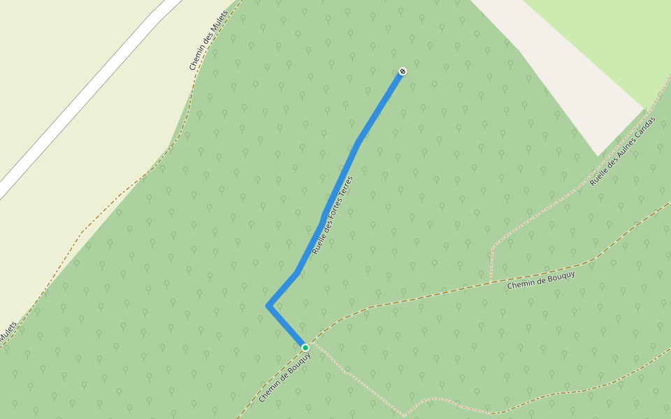
Le Meux Cycle Path - Jonquières Introduction
Le Meux Cycle Path - Jonquières is a 1.1 mile (2,500-step) route located near Le Meux, Hauts-de-France. This route has an elevation gain of about 0 ft and is rated as easy. Find the best walking trails near you in Pacer App.
Open in App for Details
Map of Le Meux Cycle Path - Jonquières
© Mapbox © OpenStreetMap
View Full Map
View Full Map
Last updated: Mar 1, 2025
Route Details
Length
1.1 mi
Est. Steps
2500
Recommended Routes Near Le Meux Cycle Path - Jonquières
Jonquières, Hauts-de-France
Rue du Bois Moïse
Length 0.2 mi
Jonquières, Hauts-de-France
Alley of Fortes Terres
Length 0.2 mi
Jaux, Hauts-de-France
Ruelle des Aulnes Candas
Length 0.3 mi
Armancourt, Hauts-de-France
Rue des Durboises
Length 0.2 mi
Armancourt, Hauts-de-France
Oise
Length 1.3 mi
Jaux, Hauts-de-France
Chemin de la Fontaine Saint-Pierre
Length 0.2 mi
Pacer Walking App
Pacer is the
best walking app
for walking challenges and finding
places to walk near me
.
Open in App for Details
Cancel
Yes
Pacer Walking App
The #1 Walking App
4.8
(1643K)
Open in App
Walking App
Near Me
Walking Clubs
Walking Challenges
Medals
For Workplaces