Pacer Walking App
The #1 Walking App
4.8
(1643K)
Open in App
Walking App
Near Me
Clubs
Challenges
Medals
For Workplaces
© Mapbox
© OpenStreetMap
Improve this map
© Mapbox
© OpenStreetMap
Improve this map
United States
Connecticut
Mansfield
Mansfield Way
Mansfield, Connecticut
United States
Connecticut
Mansfield
Mansfield Way
1
reviews
Length
0.2 mi
Elev. Gain
32.8 ft
Est. Steps
392
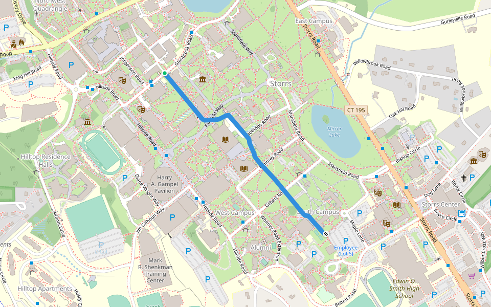
Mansfield Way Introduction
Mansfield Way is a 0.2 mile (392-step) route located near Mansfield, Connecticut. This route has an elevation gain of about 32.8 ft and is rated as medium. Find the best walking trails near you in Pacer App.
Open in App for Details
Map of Mansfield Way
© Mapbox © OpenStreetMap
View Full Map
View Full Map
Last updated: Apr 1, 2025
Route Details
Length
0.2 mi
Elev. Gain
32.8 ft
Est. Steps
392
Recommended Routes Near Mansfield Way
Storrs, Connecticut, USA
Mirror Lake
Length 0.5 mi
Storrs, Connecticut, USA
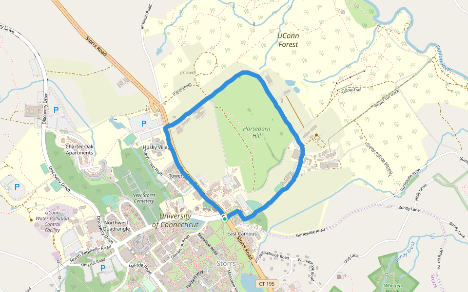
Horsebarn Hill
Length 2 mi
Mansfield, Connecticut
Academic Way
Length 0.5 mi
· Elev 23 ft
Mansfield, Connecticut
Fairfield Way
Length 0.3 mi
Mansfield, Connecticut
Hillside Road
Length 0.2 mi
Mansfield, Connecticut
Laurel Way
Length 0.1 mi
Pacer Walking App
Pacer is the
best walking app
for walking challenges and finding
places to walk near me
.
Open in App for Details
Cancel
Yes
Pacer Walking App
The #1 Walking App
4.8
(1643K)
Open in App
Walking App
Near Me
Walking Clubs
Walking Challenges
Medals
For Workplaces