Pacer Walking App
The #1 Walking App
4.8
(1643K)
Open in App
Walking App
Near Me
Clubs
Challenges
Medals
For Workplaces
© Mapbox
© OpenStreetMap
Improve this map
© Mapbox
© OpenStreetMap
Improve this map
Canada
British Columbia
Hedley
Ladyslipper Trail
Keremeos, British Columbia
Canada
British Columbia
Hedley
Ladyslipper Trail
1
reviews
Length
1.4 mi
Elev. Gain
921.7 ft
Est. Steps
3500
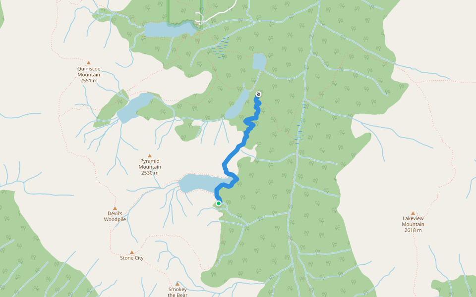
Ladyslipper Trail Introduction
Ladyslipper Trail is a 1.4 mile (3,500-step) route located near Keremeos, British Columbia. This route has an elevation gain of about 921.7 ft and is rated as hard. Find the best walking trails near you in Pacer App.
Open in App for Details
Map of Ladyslipper Trail
© Mapbox © OpenStreetMap
View Full Map
View Full Map
Last updated: Mar 1, 2025
Route Details
Length
1.4 mi
Elev. Gain
921.7 ft
Est. Steps
3500
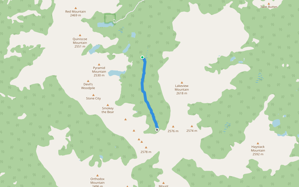
Recommended Routes Near Ladyslipper Trail
Keremeos, British Columbia
Ladyslipper Lake Trail
Length 1.3 mi
· Elev 65.6 ft
Keremeos, British Columbia
Goat Lake Trail
Length 2 mi
· Elev 541.2 ft
Keremeos, British Columbia
(unmarked route)
Length 0.7 mi
Keremeos, British Columbia
Lake of the Woods Trail
Length 1 mi
· Elev 49.2 ft
Keremeos, British Columbia
Pyramid Lake Trail
Length 0.7 mi
· Elev 88.6 ft
Keremeos, British Columbia
View Rock Trail
Length 0.2 mi
Nearby Parks
Cathedral Provincial Park
Pacer Walking App
Pacer is the
best walking app
for walking challenges and finding
places to walk near me
.
Open in App for Details
Cancel
Yes
Pacer Walking App
The #1 Walking App
4.8
(1643K)
Open in App
Walking App
Near Me
Walking Clubs
Walking Challenges
Medals
For Workplaces