Pacer Walking App
The #1 Walking App
4.8
(1643K)
Open in App
Walking App
Near Me
Clubs
Challenges
Medals
For Workplaces
© Mapbox
© OpenStreetMap
Improve this map
© Mapbox
© OpenStreetMap
Improve this map
France
Hauts-de-France
Paillart
City Tour Path
Paillart, Hauts-de-France
France
Hauts-de-France
Paillart
City Tour Path
1
reviews
Length
0.1 mi
Est. Steps
332
City Tour Path Introduction
City Tour Path is a 0.1 mile (332-step) route located near Paillart, Hauts-de-France. This route has an elevation gain of about 0 ft and is rated as easy. Find the best walking trails near you in Pacer App.
Open in App for Details
Map of City Tour Path
© Mapbox © OpenStreetMap
View Full Map
View Full Map
Last updated: Mar 1, 2025
Route Details
Length
0.1 mi
Est. Steps
332
Recommended Routes Near City Tour Path
Vendeuil-Caply, Hauts-de-France
Courelle Trail
Length 0.4 mi
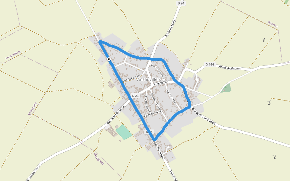
Ansauvillers, Oise, France
Ansauvillers
Length 1.8 mi
Wavignies, Hauts-de-France
Impasse des Saules
Length 0.3 mi
Wavignies, Hauts-de-France
Calvary Lane
Length 0.1 mi
Grattepanche, Hauts-de-France
The Sandstone Mountain
Length 2.4 mi
· Elev 105 ft
Francastel, Hauts-de-France
Rue Saint-François
Length 0.1 mi
Pacer Walking App
Pacer is the
best walking app
for walking challenges and finding
places to walk near me
.
Open in App for Details
Cancel
Yes
Pacer Walking App
The #1 Walking App
4.8
(1643K)
Open in App
Walking App
Near Me
Walking Clubs
Walking Challenges
Medals
For Workplaces