Open in App
pacer logo
Chittenden Road - Mount Washburn Trail walking route map in Yellowstone National Park, Wyoming
United StatesBreadcrumb separatorWyomingBreadcrumb separatorYellowstone National ParkBreadcrumb separator
Chittenden Road - Mount Washburn Trail
Yellowstone National Park, Wyoming

Chittenden Road - Mount Washburn Trail

Rating StarRating StarRating StarRating StarRating Star
1
 reviews
Length2.9 mi
Elev. Gain1312 ft
Est. Steps6500

Chittenden Road - Mount Washburn Trail Introduction

Chittenden Road - Mount Washburn Trail is a 2.9 mile (6,500-step) route located near Yellowstone National Park, Wyoming. This route has an elevation gain of about 1312 ft and is rated as hard. Find the best walking trails near you in Pacer App.
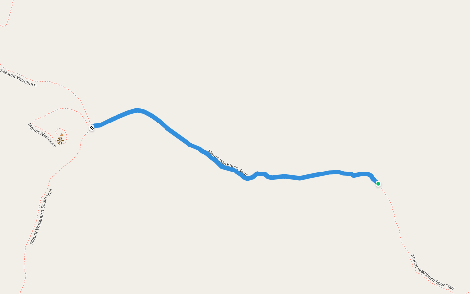
Starting at the Chittenden Road Trailhead this route provides the shortest route up to Mount Washburn. The road provides for a wide trail and a steady gradual incline. Look for bighorn sheep and wildflowers. Stay on the trail to avoid destroying fragile a
Last updated: Mar 1, 2025

Route Details

Detail Icon

Length

2.9 mi
Detail Icon

Elev. Gain

1312 ft
Detail Icon

Est. Steps

6500
pacer

Pacer Walking App

Pacer is the best walking app for walking challenges and finding places to walk near me.