Pacer Walking App
The #1 Walking App
4.8
(1643K)
Open in App
Walking App
Near Me
Clubs
Challenges
Medals
For Workplaces
© Mapbox
© OpenStreetMap
Improve this map
© Mapbox
© OpenStreetMap
Improve this map
Austria
Hinterbichl
Hiking trail Johannishuette - Kreuzspitze
Frösach, Tirol
Austria
Hinterbichl
Hiking trail Johannishuette - Kreuzspitze
1
reviews
Length
2.5 mi
Elev. Gain
3243.9 ft
Est. Steps
5500
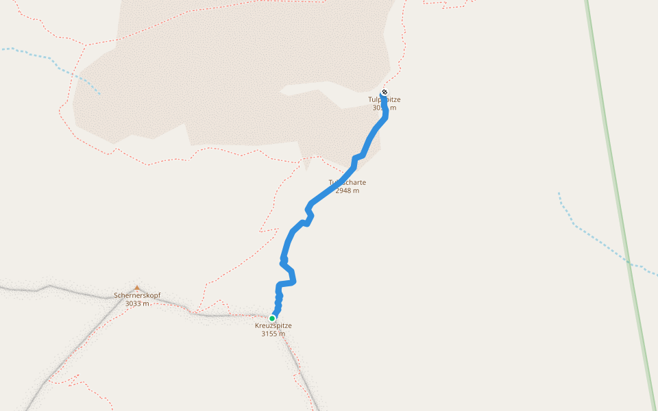
Hiking trail Johannishuette - Kreuzspitze Introduction
Hiking trail Johannishuette - Kreuzspitze is a 2.5 mile (5,500-step) route located near Frösach, Tirol. This route has an elevation gain of about 3243.9 ft and is rated as hard. Find the best walking trails near you in Pacer App.
Open in App for Details
Map of Hiking trail Johannishuette - Kreuzspitze
© Mapbox © OpenStreetMap
View Full Map
View Full Map
Last updated: Apr 1, 2025
Route Details
Length
2.5 mi
Elev. Gain
3243.9 ft
Est. Steps
5500
Recommended Routes Near Hiking trail Johannishuette - Kreuzspitze
Frösach, Tirol
Johannishütte - Defreggerhaus
Length 2.6 mi
· Elev 2407.5 ft
Frösach, Tirol
Defreggerhaus cable car valley station - junction Defreggerhaus
Length 0.4 mi
Frösach, Tirol
Hiking trail Kreuzspitze - Tulpspitze
Length 0.4 mi
Bichl, Tirol
Trail 923B
Length 0.4 mi
· Elev 209.9 ft
Bichl, Tirol
Prägratner Höhenweg
Length 1.1 mi
· Elev 931.5 ft
Sankt Andrä, Tirol
Wiesachweg
Length 1.3 mi
· Elev 925 ft
Pacer Walking App
Pacer is the
best walking app
for walking challenges and finding
places to walk near me
.
Open in App for Details
Cancel
Yes
Pacer Walking App
The #1 Walking App
4.8
(1643K)
Open in App
Walking App
Near Me
Walking Clubs
Walking Challenges
Medals
For Workplaces