Open in App
pacer logo
Klosterneuburg/Gasthaus Trat - Kahlenbergweg walking route map in Klosterneuburg, Niederösterreich
AustriaBreadcrumb separatorKlosterneuburgBreadcrumb separator
Klosterneuburg/Gasthaus Trat - Kahlenbergweg
Klosterneuburg, Niederösterreich

Klosterneuburg/Gasthaus Trat - Kahlenbergweg

Rating StarRating StarRating StarRating StarRating Star
1
 reviews
Length0.9 mi
Elev. Gain344.4 ft
Est. Steps2000

Klosterneuburg/Gasthaus Trat - Kahlenbergweg Introduction

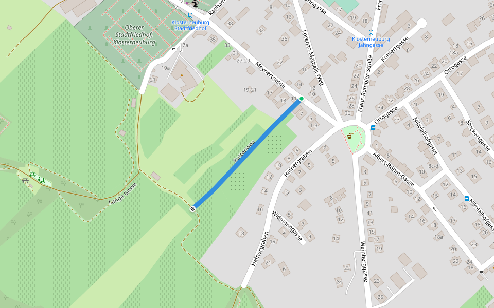
Klosterneuburg/Gasthaus Trat - Kahlenbergweg is a 0.9 mile (2,000-step) route located near Klosterneuburg, Niederösterreich. This route has an elevation gain of about 344.4 ft and is rated as hard. Find the best walking trails near you in Pacer App.

Map of Klosterneuburg/Gasthaus Trat - Kahlenbergweg

© Mapbox © OpenStreetMap
View Full MapView Full Map
Last updated: Mar 1, 2025

Route Details

Detail Icon

Length

0.9 mi
Detail Icon

Elev. Gain

344.4 ft
Detail Icon

Est. Steps

2000
pacer

Pacer Walking App

Pacer is the best walking app for walking challenges and finding places to walk near me.