Pacer Walking App
The #1 Walking App
4.8
(1643K)
Open in App
Walking App
Near Me
Clubs
Challenges
Medals
For Workplaces
© Mapbox
© OpenStreetMap
Improve this map
© Mapbox
© OpenStreetMap
Improve this map
United States
Washington
Deming
Horseshoe Bend Trail
Deming, Washington
United States
Washington
Deming
Horseshoe Bend Trail
1
reviews
Length
1.8 mi
Elev. Gain
160.7 ft
Est. Steps
4000
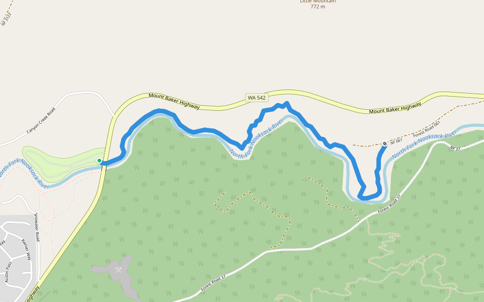
Horseshoe Bend Trail Introduction
Horseshoe Bend Trail is a 1.8 mile (4,000-step) route located near Deming, Washington. This route has an elevation gain of about 160.7 ft and is rated as easy. Find the best walking trails near you in Pacer App.
Open in App for Details
Map of Horseshoe Bend Trail
© Mapbox © OpenStreetMap
View Full Map
View Full Map
Last updated: Mar 1, 2025
Route Details
Length
1.8 mi
Elev. Gain
160.7 ft
Est. Steps
4000
Recommended Routes Near Horseshoe Bend Trail
Deming, Washington
Horseshoe Bend Trail
Length 1.8 mi
· Elev 160.7 ft
Deming, Washington
Church Mountain Trail
Length 4 mi
· Elev 3755.6 ft
Deming, Washington
Church Mountain Trail
Length 4 mi
· Elev 3755.6 ft
Glacier, Washington
Skyline Divide Trail
Length 5.3 mi
· Elev 2155 ft
Glacier, Washington
Skyline Divide Trail
Length 5.3 mi
· Elev 2155 ft
Glacier, Washington
Deadhorse Camp Trail
Length 1 mi
· Elev 75.4 ft
Pacer Walking App
Pacer is the
best walking app
for walking challenges and finding
places to walk near me
.
Open in App for Details
Cancel
Yes
Pacer Walking App
The #1 Walking App
4.8
(1643K)
Open in App
Walking App
Near Me
Walking Clubs
Walking Challenges
Medals
For Workplaces