Julius-Kugy-Dreiländerweg in 30 tappes - collegamento via E 20b
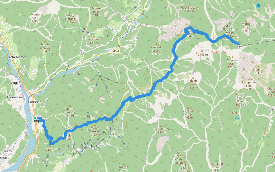
| Length | 11.1 mi |
|---|
|
| Elev. Gain | 5582.6 ft |
|---|
|
| Est. Steps | 26000 |
|---|
Julius-Kugy-Dreiländerweg in 30 tappes - collegamento via E 20b Introduction
Julius-Kugy-Dreiländerweg in 30 tappes - collegamento via E 20b is a 11.1 mile (26,000-step) route located near Friuli-Venezia Giulia. This route has an elevation gain of about 5582.6 ft and is rated as hard. Find the best walking trails near you in Pacer App.
Hst. Imponza-S. Bartolomeo-Bosco plan di Chiaul-S. Floriano-M. Giaideit-nördl. M. Oltreviso-Julius-Kugy-Alpine-Trail-Pra di Lunge-westl. Crete di Palasecca-Palasecca di mezzo-Rif. M. Sernio-südl. Creta di Mezzodi-Ric. C.ra del Mestri-Foran da la Gjaline-R
Last updated: Apr 1, 2025