Pacer Walking App
The #1 Walking App
4.8
(1643K)
Open in App
Walking App
Near Me
Clubs
Challenges
Medals
For Workplaces
© Mapbox
© OpenStreetMap
Improve this map
© Mapbox
© OpenStreetMap
Improve this map
Routes
Piemonte
Eclause
Via Alpina Blue D37
Eclause, Piemonte
Eclause, Piemonte
Via Alpina Blue D37
1
reviews
Length
9 mi
Elev. Gain
3713 ft
Est. Steps
21000
Via Alpina Blue D37 Introduction
Via Alpina Blue D37 is a 9 mile (21,000-step) route located near Eclause, Piemonte. This route has an elevation gain of about 3713 ft and is rated as hard. Find the best walking trails near you in Pacer App.
Open in App for Details
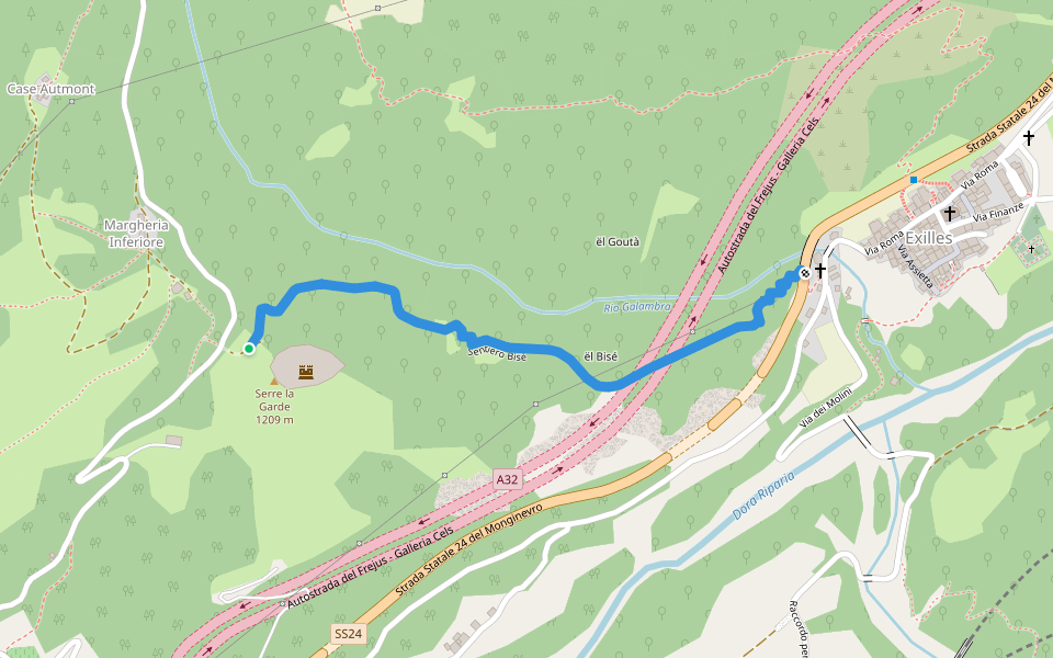
Map of Via Alpina Blue D37
© Mapbox © OpenStreetMap
View Full Map
View Full Map
Last updated: Mar 1, 2025
Route Details
Length
9 mi
Elev. Gain
3713 ft
Est. Steps
21000
Recommended Routes Near Via Alpina Blue D37
Piemonte
Via 'd la Tounshëtta
Length 0.4 mi
· Elev 436.2 ft
Piemonte
Bisè path
Length 0.7 mi
Piemonte
Battery mule track
Length 0.9 mi
· Elev 6.6 ft
Piemonte
The Clòs path
Length 1 mi
· Elev 433 ft
Val-Cenis, Auvergne-Rhône-Alpes
Towards Col Agnel
Length 0.3 mi
Piemonte
740 C
Length 0.4 mi
· Elev 282.1 ft
Pacer Walking App
Pacer is the
best walking app
for walking challenges and finding
places to walk near me
.
Open in App for Details
Cancel
Yes
Pacer Walking App
The #1 Walking App
4.8
(1643K)
Open in App
Walking App
Near Me
Walking Clubs
Walking Challenges
Medals
For Workplaces