Pacer Walking App
The #1 Walking App
4.8
(1643K)
Open in App
Walking App
Near Me
Clubs
Challenges
Medals
For Workplaces
© Mapbox
© OpenStreetMap
Improve this map
© Mapbox
© OpenStreetMap
Improve this map
Routes
Umbria
Montecchio route A
Umbria
Umbria
Montecchio route A
1
reviews
Length
5.9 mi
Elev. Gain
872.5 ft
Est. Steps
14000
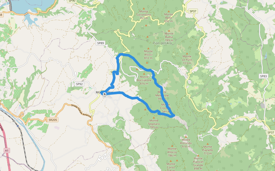
Montecchio route A Introduction
Montecchio route A is a 6 mile (14,000-step) route located near Umbria. This route has an elevation gain of about 872.5 ft and is rated as medium. Find the best walking trails near you in Pacer App.
Open in App for Details
Map of Montecchio route A
© Mapbox © OpenStreetMap
View Full Map
View Full Map
Last updated: Mar 1, 2025
Route Details
Length
5.9 mi
Elev. Gain
872.5 ft
Est. Steps
14000
Recommended Routes Near Montecchio route A
Umbria
Baschi Ring - Corbara Dam
Length 6.5 mi
· Elev 528.1 ft
Umbria
Path of the Silent Villages - 5th stage
Length 9.5 mi
· Elev 1466.2 ft
Umbria
Montecchio ring route C
Length 7.2 mi
· Elev 2184.5 ft
Umbria
Path of the Silent Villages - 1st stage
Length 16.7 mi
· Elev 2614.2 ft
Umbria
Path of the Silent Villages - 4th stage
Length 7.7 mi
· Elev 462.5 ft
Civitella del Lago, Umbria
Walk of the five fountains
Length 0.9 mi
· Elev 203.4 ft
Pacer Walking App
Pacer is the
best walking app
for walking challenges and finding
places to walk near me
.
Open in App for Details
Cancel
Yes
Pacer Walking App
The #1 Walking App
4.8
(1643K)
Open in App
Walking App
Near Me
Walking Clubs
Walking Challenges
Medals
For Workplaces