Pacer Walking App
The #1 Walking App
4.8
(1643K)
Open in App
Walking App
Near Me
Clubs
Challenges
Medals
For Workplaces
France
Pays de la Loire
Mulsanne
Mulsanne 1
Mulsanne, Sarthe, France
France
Pays de la Loire
Mulsanne
Mulsanne 1
Length
5.2 mi
Elev. Gain
154.2 ft
Est. Steps
12000
Forest
Quiet place
Off trail
Created by Cathie
Mulsanne 1 Introduction
Mulsanne 1 is a 5.2 mile (12,000-step) route located near Mulsanne, Sarthe, France. This route has an elevation gain of about 154.2 ft and is rated as easy. Find the best walking trails near you in Pacer App.
Open in App for Details
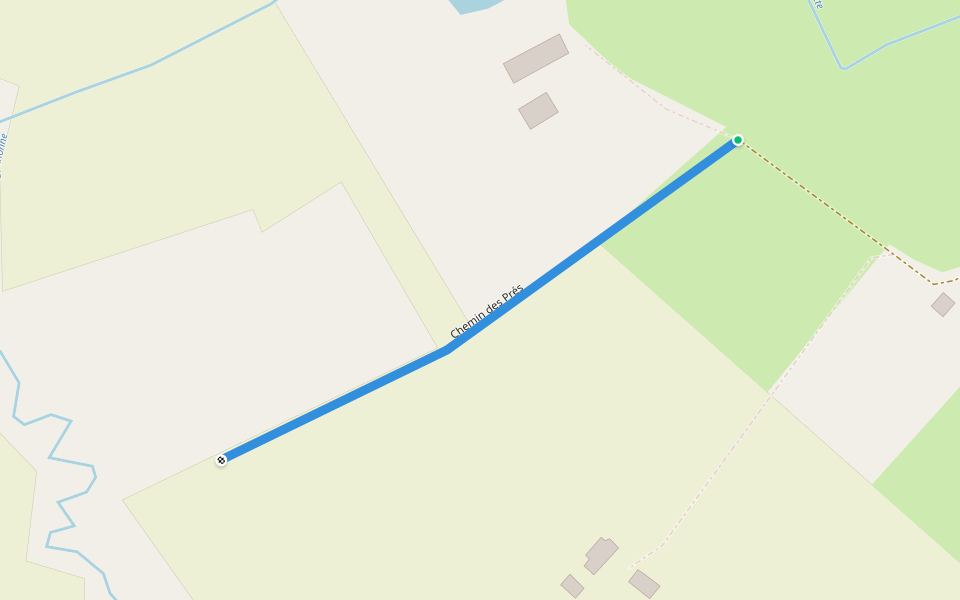
Map of Mulsanne 1
© Mapbox © OpenStreetMap
View Full Map
View Full Map
Attractions Near Mulsanne 1
© Wikipedia © OpenStreetMap
Mulsanne
Place
Mulsanne is a commune in the Sarthe department in the region of Pays-de-la-Loire in north-western France.
Last updated: Mar 1, 2025
Route Details
Length
5.2 mi
Elev. Gain
154.2 ft
Est. Steps
12000
Created by
Cathie
Recommended Routes Near Mulsanne 1
Mulsanne, Pays de la Loire
Passage Depallier
Length 0.2 mi · Elev 0 ft
Mulsanne, Sarthe, France
Center of the Pincenardière
Length 6 mi · Elev 0 ft
Mulsanne, Pays de la Loire
Mégrière Rural Road
Length 0.2 mi · Elev 0 ft
Mulsanne, Pays de la Loire
Chemin Rural des Prés
Length 0.2 mi · Elev 0 ft
Teloché, Pays de la Loire
Chouasnas Road
Length 0.2 mi · Elev 0 ft
Moncé-en-Belin, Pays de la Loire
Chemin d'Arnage at the Carrefour de la Croix Bignon
Length 0.2 mi · Elev 0 ft
Pacer Walking App
Pacer is the
best walking app
for walking challenges and finding
places to walk near me
.
Open in App for Details
Cancel
Yes
Pacer Walking App
The #1 Walking App
4.8
(1643K)
Open in App
Walking App
Near Me
Walking Clubs
Walking Challenges
Medals
For Workplaces