Pacer Walking App
The #1 Walking App
4.8
(1643K)
Open in App
Walking App
Near Me
Clubs
Challenges
Medals
For Workplaces
© Mapbox
© OpenStreetMap
Improve this map
© Mapbox
© OpenStreetMap
Improve this map
United States
Arizona
Mesa
Skyline Park
Mesa, Arizona
United States
Arizona
Mesa
Skyline Park
1
reviews
Length
0.5 mi
Est. Steps
1000
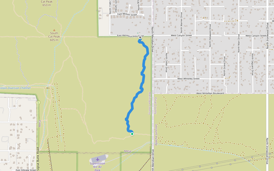
Skyline Park Introduction
Skyline Park is a 0.5 mile (1,000-step) route located near Mesa, Arizona. This route has an elevation gain of about 0 ft and is rated as easy. Find the best walking trails near you in Pacer App.
Open in App for Details
Map of Skyline Park
© Mapbox © OpenStreetMap
View Full Map
View Full Map
Last updated: Apr 1, 2025
Route Details
Length
0.5 mi
Est. Steps
1000
Recommended Routes Near Skyline Park
Mesa, Arizona
Superstition Buttes
Length 1.2 mi
Mesa, Arizona, USA
Spook Hill
Length 2.6 mi
Apache Junction, Arizona
Superstition Shadows Park
Length 4 mi
Mesa, Arizona, USA
Spook Hill
Length 0.8 mi
· Elev 328 ft
Apache Junction, Arizona
County Line Trail
Length 1 mi
· Elev 78.7 ft
Mesa, Arizona
Signal Wash Trail
Length 0.5 mi
Pacer Walking App
Pacer is the
best walking app
for walking challenges and finding
places to walk near me
.
Open in App for Details
Cancel
Yes
Pacer Walking App
The #1 Walking App
4.8
(1643K)
Open in App
Walking App
Near Me
Walking Clubs
Walking Challenges
Medals
For Workplaces