Open in App
pacer logo
The path of friendship / Sentiero dell'amicizia walking route map in San Dorligo della Valle, Trieste, Italy
ItalyBreadcrumb separatorFriuli-Venezia GiuliaBreadcrumb separatorBottazzoBreadcrumb separator
The path of friendship / Sentiero dell'amicizia
San Dorligo della Valle, Trieste, Italy

The path of friendship / Sentiero dell'amicizia

Rating StarRating StarRating StarRating StarRating Star
1
 reviews
Length0.7 mi
Elev. Gain416.6 ft
Est. Steps1500

The path of friendship / Sentiero dell'amicizia Introduction

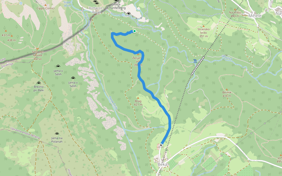
The path of friendship / Sentiero dell'amicizia is a 0.7 mile (1,500-step) route located near San Dorligo della Valle, Trieste, Italy. This route has an elevation gain of about 416.6 ft and is rated as hard. Find the best walking trails near you in Pacer App.

Map of The path of friendship / Sentiero dell'amicizia

© Mapbox © OpenStreetMap
View Full MapView Full Map
Last updated: Mar 1, 2025

Route Details

Detail Icon

Length

0.7 mi
Detail Icon

Elev. Gain

416.6 ft
Detail Icon

Est. Steps

1500
pacer

Pacer Walking App

Pacer is the best walking app for walking challenges and finding places to walk near me.