Pacer Walking App
The #1 Walking App
4.8
(1643K)
Open in App
Walking App
Near Me
Clubs
Challenges
Medals
For Workplaces
© Mapbox
© OpenStreetMap
Improve this map
© Mapbox
© OpenStreetMap
Improve this map
France
Auvergne-Rhône-Alpes
Thoiry
Pic de la Sauge trail in La Galoppaz
Thoiry, Savoie, France
France
Auvergne-Rhône-Alpes
Thoiry
Pic de la Sauge trail in La Galoppaz
1
reviews
Length
5.2 mi
Elev. Gain
4004.9 ft
Est. Steps
12000
Pic de la Sauge trail in La Galoppaz Introduction
Pic de la Sauge trail in La Galoppaz is a 5.2 mile (12,000-step) route located near Thoiry, Savoie, France. This route has an elevation gain of about 4004.9 ft and is rated as hard. Find the best walking trails near you in Pacer App.
Open in App for Details
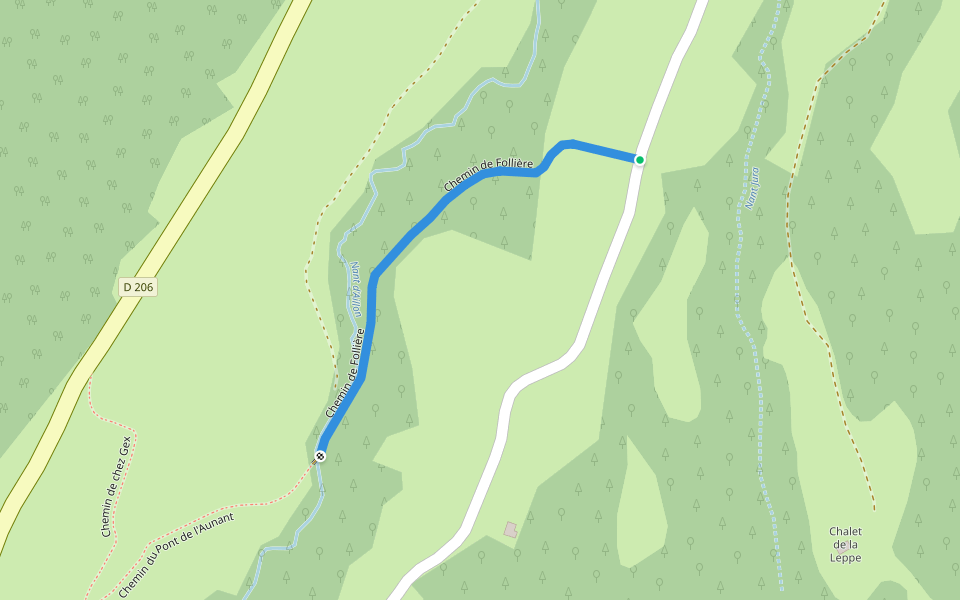
Map of Pic de la Sauge trail in La Galoppaz
© Mapbox © OpenStreetMap
View Full Map
View Full Map
Reviews
4.5
(1)
PacerGuy_1956
2020/08/26
Last updated: Mar 1, 2025
Route Details
Length
5.2 mi
Elev. Gain
4004.9 ft
Est. Steps
12000
Recommended Routes Near Pic de la Sauge trail in La Galoppaz
Aillon-le-Jeune, Auvergne-Rhône-Alpes
Access to Mont de la Buffaz
Length 0.8 mi
· Elev 498.6 ft
Aillon-le-Jeune, Auvergne-Rhône-Alpes
Chemin du Pont de l'Aunant
Length 0.2 mi
Puygros, Auvergne-Rhône-Alpes
Path from Pic de la Sage to La Galoppaz
Length 1.2 mi
· Elev 6.6 ft
Aillon-le-Jeune, Auvergne-Rhône-Alpes
Way to Gex
Length 0.2 mi
Aillon-le-Jeune, Auvergne-Rhône-Alpes
Follière Road
Length 0.3 mi
· Elev 16.4 ft
Thoiry, Auvergne-Rhône-Alpes
Chemin de la Bauche
Length 0.2 mi
Pacer Walking App
Pacer is the
best walking app
for walking challenges and finding
places to walk near me
.
Open in App for Details
Cancel
Yes
Pacer Walking App
The #1 Walking App
4.8
(1643K)
Open in App
Walking App
Near Me
Walking Clubs
Walking Challenges
Medals
For Workplaces