Pacer Walking App
The #1 Walking App
4.8
(1643K)
Open in App
Walking App
Near Me
Clubs
Challenges
Medals
For Workplaces
© Mapbox
© OpenStreetMap
Improve this map
© Mapbox
© OpenStreetMap
Improve this map
France
Auvergne-Rhône-Alpes
Bellignat
Black Forest
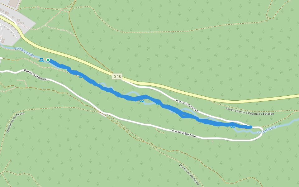
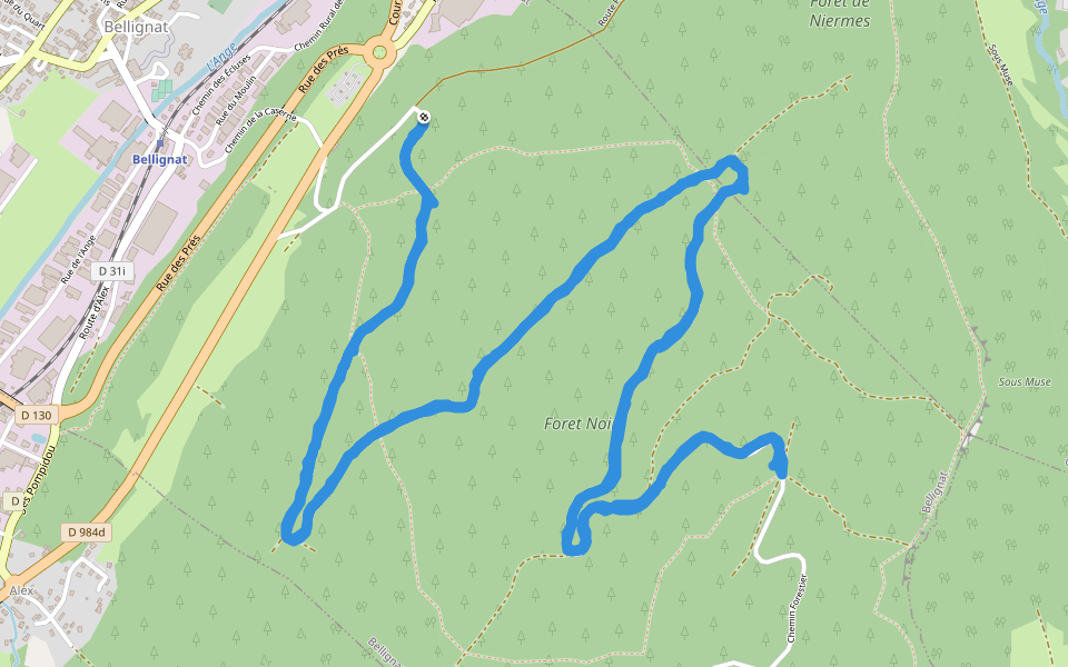
Bellignat, Ain, France
France
Auvergne-Rhône-Alpes
Bellignat
Black Forest
1
reviews
Length
7.1 mi
Elev. Gain
1853.2 ft
Est. Steps
16000
Black Forest Introduction
Black Forest is a 7.1 mile (16,000-step) route located near Bellignat, Ain, France. This route has an elevation gain of about 1853.2 ft and is rated as hard. Find the best walking trails near you in Pacer App.
Open in App for Details
Map of Black Forest
© Mapbox © OpenStreetMap
View Full Map
View Full Map
Attractions Near Black Forest
© Wikipedia © OpenStreetMap
Le Saut de l'Ours
Landform
Sentier de la Foret Noir
Tourist Attraction
Route Forestiere de Nierme Superieure
Building
Last updated: Mar 1, 2025
Route Details
Length
7.1 mi
Elev. Gain
1853.2 ft
Est. Steps
16000
Recommended Routes Near Black Forest
Oyonnax, Auvergne-Rhône-Alpes
Passage Balzac
Length 0.2 mi
Oyonnax, Ain, France
Lacoux (ruin)
Length 6.8 mi
· Elev 2128.7 ft
Oyonnax, Auvergne-Rhône-Alpes
Belmont Alley
Length 0.2 mi
Oyonnax, Ain, France
New Way of Life
Length 1.5 mi
· Elev 203.4 ft
Oyonnax, Auvergne-Rhône-Alpes
The Caves of Lordon
Length 5.8 mi
· Elev 1292.3 ft
Oyonnax, Auvergne-Rhône-Alpes
Allée Sous-Tarmas
Length 0.1 mi
Pacer Walking App
Pacer is the
best walking app
for walking challenges and finding
places to walk near me
.
Open in App for Details
Cancel
Yes
Pacer Walking App
The #1 Walking App
4.8
(1643K)
Open in App
Walking App
Near Me
Walking Clubs
Walking Challenges
Medals
For Workplaces