Pacer Walking App
The #1 Walking App
4.8
(1643K)
Open in App
Walking App
Near Me
Clubs
Challenges
Medals
For Workplaces
© Mapbox
© OpenStreetMap
Improve this map
© Mapbox
© OpenStreetMap
Improve this map
France
Auvergne-Rhône-Alpes
Saint-Just-Saint-Rambert
Way of the Viaduct
Saint-Just-Saint-Rambert, Loire, France
France
Auvergne-Rhône-Alpes
Saint-Just-Saint-Rambert
Way of the Viaduct
1
reviews
Length
4.9 mi
Est. Steps
11000
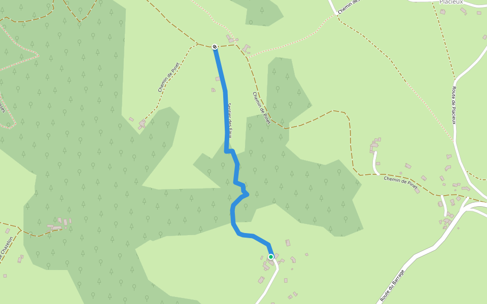
Way of the Viaduct Introduction
Way of the Viaduct is a 4.9 mile (11,000-step) route located near Saint-Just-Saint-Rambert, Loire, France. This route has an elevation gain of about 0 ft and is rated as easy. Find the best walking trails near you in Pacer App.
Open in App for Details
Map of Way of the Viaduct
© Mapbox © OpenStreetMap
View Full Map
View Full Map
Last updated: Mar 1, 2025
Route Details
Length
4.9 mi
Est. Steps
11000
Recommended Routes Near Way of the Viaduct
Saint-Just-Saint-Rambert, Auvergne-Rhône-Alpes
Path of the Scythes
Length 0.5 mi
Saint-Just-Saint-Rambert, Auvergne-Rhône-Alpes
Mezieux Au Grangent
Length 0.5 mi
Saint-Just-Saint-Rambert, Auvergne-Rhône-Alpes
Vignasses Trail
Length 0.8 mi
· Elev 16.4 ft
Saint-Just-Saint-Rambert, Auvergne-Rhône-Alpes
Valotte Trail
Length 0.3 mi
Saint-Étienne, Auvergne-Rhône-Alpes
The Big Wood
Length 1.7 mi
· Elev 259.1 ft
Saint-Étienne, Loire, France
The Grand Bois
Length 5.2 mi
· Elev 852.8 ft
Pacer Walking App
Pacer is the
best walking app
for walking challenges and finding
places to walk near me
.
Open in App for Details
Cancel
Yes
Pacer Walking App
The #1 Walking App
4.8
(1643K)
Open in App
Walking App
Near Me
Walking Clubs
Walking Challenges
Medals
For Workplaces