Pacer Walking App
The #1 Walking App
4.8
(1643K)
Open in App
Walking App
Near Me
Clubs
Challenges
Medals
For Workplaces
© Mapbox
© OpenStreetMap
Improve this map
© Mapbox
© OpenStreetMap
Improve this map
France
Centre-Val de Loire
Saumeray
Les Rouillys
Saumeray, Eure-et-Loir, France
France
Centre-Val de Loire
Saumeray
Les Rouillys
1
reviews
Length
3.1 mi
Est. Steps
7000
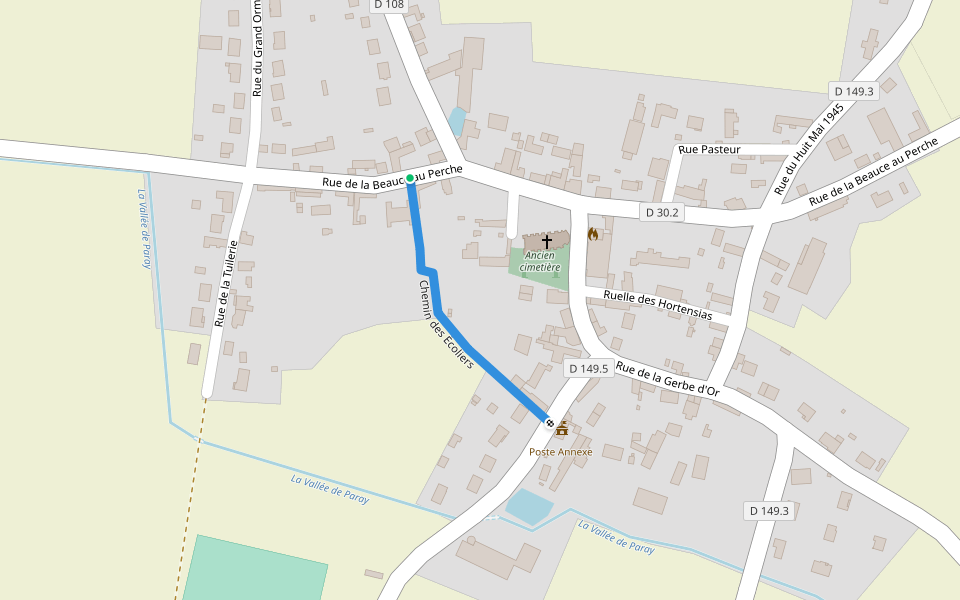
Les Rouillys Introduction
Les Rouillys is a 3.1 mile (7,000-step) route located near Saumeray, Eure-et-Loir, France. This route has an elevation gain of about 0 ft and is rated as easy. Find the best walking trails near you in Pacer App.
Open in App for Details
Map of Les Rouillys
© Mapbox © OpenStreetMap
View Full Map
View Full Map
Last updated: Mar 1, 2025
Route Details
Length
3.1 mi
Est. Steps
7000
Recommended Routes Near Les Rouillys
Saumeray, Centre-Val de Loire
From Illiers-Combray to Bonneval (according to GR 655)
Length 16.8 mi
· Elev 62.3 ft
Illiers-Combray, Centre-Val de Loire
Gué Bellerin walk
Length 0.2 mi
Brou, Centre-Val de Loire
Passage Saint-Romain
Length 0.2 mi
Logron, Eure-et-Loir, France
Logron
Length 3.2 mi
Magny, Centre-Val de Loire
School Path
Length 0.1 mi
Marboué, Centre-Val de Loire
Rural road n°25 of Petit Bois
Length 0.2 mi
Pacer Walking App
Pacer is the
best walking app
for walking challenges and finding
places to walk near me
.
Open in App for Details
Cancel
Yes
Pacer Walking App
The #1 Walking App
4.8
(1643K)
Open in App
Walking App
Near Me
Walking Clubs
Walking Challenges
Medals
For Workplaces